Finland · Monochrome Blue
Helsinki Map Poster · Monochrome Blue
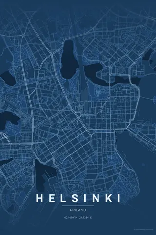
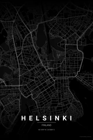
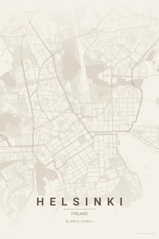
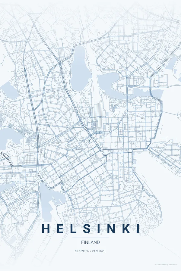
Every street, park and waterway of Helsinki, drawn from real map data in the Monochrome Blue palette. Buy the files and print anywhere, or let us print it for you.
- Digital: 4 portrait JPGs (2:3, 3:4, 4:5, ISO) at 300 DPI
- Fits 12×18 in, 30×40 cm, 16×20 in, A4/A3/A2 and more
- Extras ZIP with the 11×14 in version and all ratios in landscape
- Printed sizes A4 to 60×90 cm, €29.90–€65, shipping included
- Map data © OpenStreetMap contributors
About the Helsinki map
a neoclassical grid surrounded by the Baltic
Helsinki is a city drawn by the sea. The centre sits on a peninsula, with Engel's neoclassical grid spreading out from Senate Square between two harbours, and the bay of Töölönlahti reaching so deep into the city that open water almost touches the main station.
Around the edges, the map dissolves into archipelago: ragged headlands, the islands of Lauttasaari and Kulosaari, and the sea fortress of Suomenlinna scattered across the water to the south. Inland, the green wedge of the Keskuspuisto central park runs north like a spine. Stone grid, dark water, scattered islands — pure Nordic graphic design.
Monochrome Blue: the signature pick: cool Baltic blues in a single hue, as calm and exact as the city itself.
Centre on Senate Square with a 5 km radius: the peninsula grid, both harbours, Töölönlahti bay, Lauttasaari and the islands of Suomenlinna all make it into the frame, with the sea wrapping three sides of the poster.
Read the full Helsinki guideWant it your way?
Change the distance, the colours, the label or the size in the editor and get a custom render of Helsinki.
Customize this design