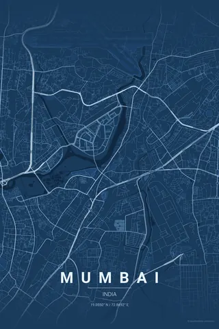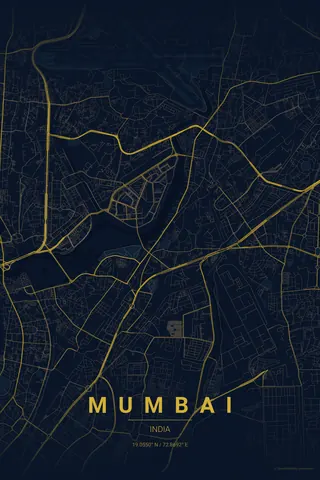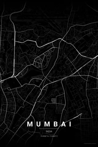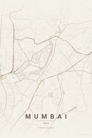
India · Contrast Zones
Mumbai Map Poster · Contrast Zones
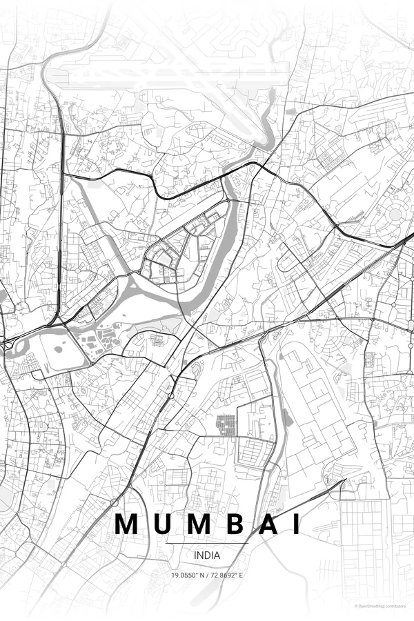
Every street, park and waterway of Mumbai, drawn from real map data in the Contrast Zones palette. Buy the files and print anywhere, or let us print it for you.
- Digital: 4 portrait JPGs (2:3, 3:4, 4:5, ISO) at 300 DPI
- Fits 12×18 in, 30×40 cm, 16×20 in, A4/A3/A2 and more
- Extras ZIP with the 11×14 in version and all ratios in landscape
- Printed sizes A4 to 60×90 cm, €29.90–€65, shipping included
About the Mumbai map
peninsula, coastline and twenty million stories
Mumbai's map is shaped like a long, narrow finger pointing south into the Arabian Sea, with water on three sides: the sea to the west, Thane Creek to the east and the harbour to the south. Marine Drive curves along the western coast like a necklace, and the dense grid of South Mumbai tapers to a point at Colaba, the Gateway of India at the very tip.
The map reveals the city's origin story: what is now one peninsula was once seven separate islands, joined by landfill over centuries. You can still trace the seams in the irregular coastline, the sudden changes of street orientation and the wide open maidans that were once shoreline.
Centre on Marine Drive with an 8 km radius and portrait orientation so the whole southern peninsula tapers down the print, sea on both sides; the necklace of Marine Drive becomes the focal curve.
Read the full Mumbai guideWant it your way?
Change the distance, the colours, the label or the size in the editor and get a custom render of Mumbai.
Customize this design