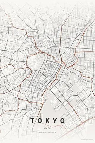
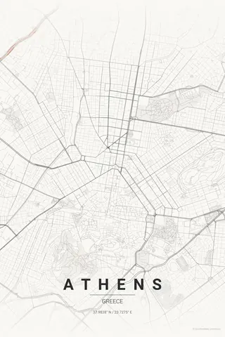
Japan · Japanese Ink
Osaka Map Poster · Japanese Ink
Every street, park and waterway of Osaka, drawn from real map data in the Japanese Ink palette. Buy the files and print anywhere, or let us print it for you.
- Digital: 4 portrait JPGs (2:3, 3:4, 4:5, ISO) at 300 DPI
- Fits 12×18 in, 30×40 cm, 16×20 in, A4/A3/A2 and more
- Extras ZIP with the 11×14 in version and all ratios in landscape
- Printed sizes A4 to 60×90 cm, €29.90–€65, shipping included
- Map data © OpenStreetMap contributors
About the Osaka map
Japan's kitchen, laced with canals
Osaka is Tokyo's louder, warmer cousin, and its map shows a different Japan: a broad merchant grid threaded by the Yodo River's channels, with the moats of Osaka Castle drawing a bold geometric island in the middle of the density.
Dotonbori's canal, the covered arcades of Shinsaibashi and the port opening to the west give the print its character — this is a city built on water and commerce, and you can read it in the lines.
Japanese Ink: the signature pick: ink-wash calm for a loud city — a beautiful contrast.
Centre on Osaka Castle with a 6 km radius: the moats' geometry anchors the middle while the river channels fan toward the bay. Shift the centre 2 km south-west if your Osaka is Namba and Dotonbori.
Read the full Osaka guideWant it your way?
Change the distance, the colours, the label or the size in the editor and get a custom render of Osaka.
Customize this design