Spain · Ocean
Palma Map Poster · Ocean
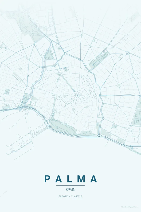
Every street, park and waterway of Palma, drawn from real map data in the Ocean palette. Buy the files and print anywhere, or let us print it for you.
- Digital: 4 portrait JPGs (2:3, 3:4, 4:5, ISO) at 300 DPI
- Fits 12×18 in, 30×40 cm, 16×20 in, A4/A3/A2 and more
- Extras ZIP with the 11×14 in version and all ratios in landscape
- Printed sizes A4 to 60×90 cm, €29.90–€65, shipping included
- Map data © OpenStreetMap contributors
About the Palma map
a golden cathedral facing the Bay of Palma
Palma's map is anchored by La Seu, the great Gothic cathedral standing right on the waterfront with the Parc de la Mar at its feet. Behind it spreads the almond-shaped old town, a maze of patios and narrow streets still bounded by the ring of avenues that replaced the city walls.
West of the centre the composition opens up: the Passeig del Born and La Rambla cutting green lines through the old quarter, the marinas and the Passeig Marítim curving along the bay, the windmills of Es Jonquet on their little bluff, and the wooded hill of Bellver Castle with its perfectly round fortress closing the frame.
Ocean: the signature pick: Mediterranean blues that make the Bay of Palma the star of the print.
Centre on La Seu with a 4 km radius: the old town almond, the ring of avenues, the Passeig Marítim, Es Jonquet and the round castle of Bellver all fit, with the bay filling the lower half of the frame.
Read the full Palma guideWant it your way?
Change the distance, the colours, the label or the size in the editor and get a custom render of Palma.
Customize this design