Portugal · Terracotta
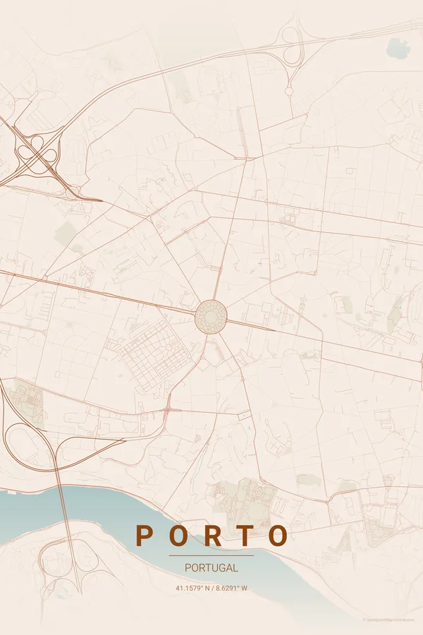
Porto Map Poster · Terracotta
Every street, park and waterway of Porto, drawn from real map data in the Terracotta palette. Buy the files and print anywhere, or let us print it for you.
- Digital: 4 portrait JPGs (2:3, 3:4, 4:5, ISO) at 300 DPI
- Fits 12×18 in, 30×40 cm, 16×20 in, A4/A3/A2 and more
- Extras ZIP with the 11×14 in version and all ratios in landscape
- Printed sizes A4 to 60×90 cm, €29.90–€65, shipping included
About the Porto map
granite lanes tumbling down to the Douro
Porto's map is shaped by gravity: everything tumbles downhill toward the Douro, which cuts a deep dramatic gorge through the city before meeting the Atlantic. The Ribeira's medieval lanes stack against the slope; Vila Nova de Gaia mirrors them across the water.
The result is one of Iberia's most dramatic compositions — a river like a dark fjord, six bridges stitching the banks together, and the ocean opening the frame to the west.
Terracotta: the signature pick: the exact colour of Porto's rooftops from the Clérigos tower.
Centre on Praça da Liberdade with a 4 km radius: the Douro's gorge, the Atlantic mouth and both banks fit in one frame. The river's diagonal makes the composition — don't crop it out.
Read the full Porto guideWant it your way?
Change the distance, the colours, the label or the size in the editor and get a custom render of Porto.
Customize this design