Canada · Emerald City
Vancouver Map Poster · Emerald City
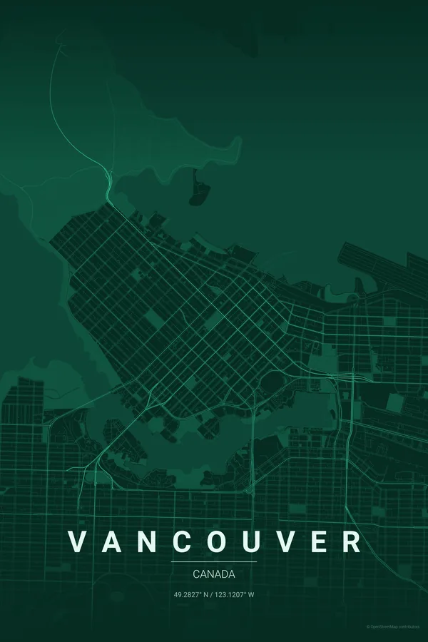
Every street, park and waterway of Vancouver, drawn from real map data in the Emerald City palette. Buy the files and print anywhere, or let us print it for you.
- Digital: 4 portrait JPGs (2:3, 3:4, 4:5, ISO) at 300 DPI
- Fits 12×18 in, 30×40 cm, 16×20 in, A4/A3/A2 and more
- Extras ZIP with the 11×14 in version and all ratios in landscape
- Printed sizes A4 to 60×90 cm, €29.90–€65, shipping included
- Map data © OpenStreetMap contributors
About the Vancouver map
a peninsula city between mountains and sea
Vancouver may have the best natural composition of any city map: downtown sits on a peninsula with Stanley Park's dark green thumb at its tip, False Creek curls underneath, English Bay opens west, and the North Shore mountains rise straight from the water.
The grid does the human part, the geography does the rest — inlets, beaches, bridges and the great port. It is a map that barely needs a palette to look spectacular.
Emerald City: the signature pick: rainforest greens for the city in the forest.
Centre on Canada Place with a 6 km radius: Stanley Park, both bridges, False Creek and Kitsilano's beaches all fit with the harbour as negative space. Don't crop Stanley Park — it makes the composition.
Read the full Vancouver guideWant it your way?
Change the distance, the colours, the label or the size in the editor and get a custom render of Vancouver.
Customize this design