Amsterdam Map Poster: canals, concentric rings and Dutch design
Why Amsterdam works so well as a map poster
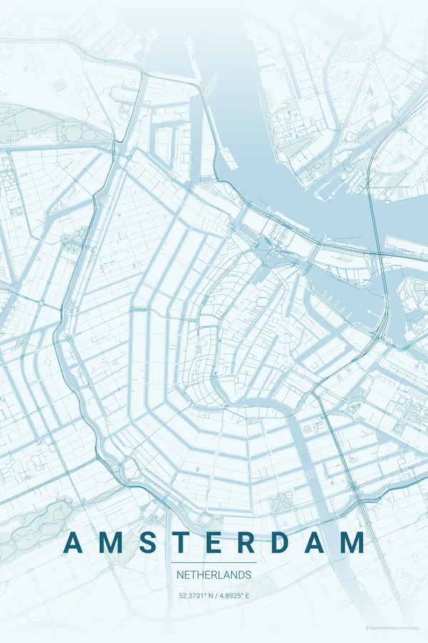
Amsterdam has one of the most instantly recognisable layouts on Earth. The concentric canal rings, Herengracht, Keizersgracht and Prinsengracht, fan out from Centraal Station in a perfect horseshoe. No other city draws this shape; you know it is Amsterdam before reading a single word.
A map poster shows what walking the city never quite can: the full geometric elegance of the grachtengordel seen from above, with the Amstel threading through the centre and the Vondelpark sitting like a green brushstroke to the south-west.
Best palettes for Amsterdam
- Blueprint — the engineering precision of the canal system deserves a technical aesthetic; Amsterdam becomes an architectural study.
- Monochrome Blue — water defines this city; a blue palette lets the canals, the IJ and the Amstel merge into something almost like Delft pottery.
- Warm Beige — for a subtler, gallery-ready look where the canal-ring geometry speaks for itself.
Where to centre the map and which radius to use
Centre on Dam Square with a 4 km radius: all three main canal rings, the Jordaan, De Pijp, the Rijksmuseum and the Vondelpark in one perfectly balanced composition.
Ready-made Amsterdam posters
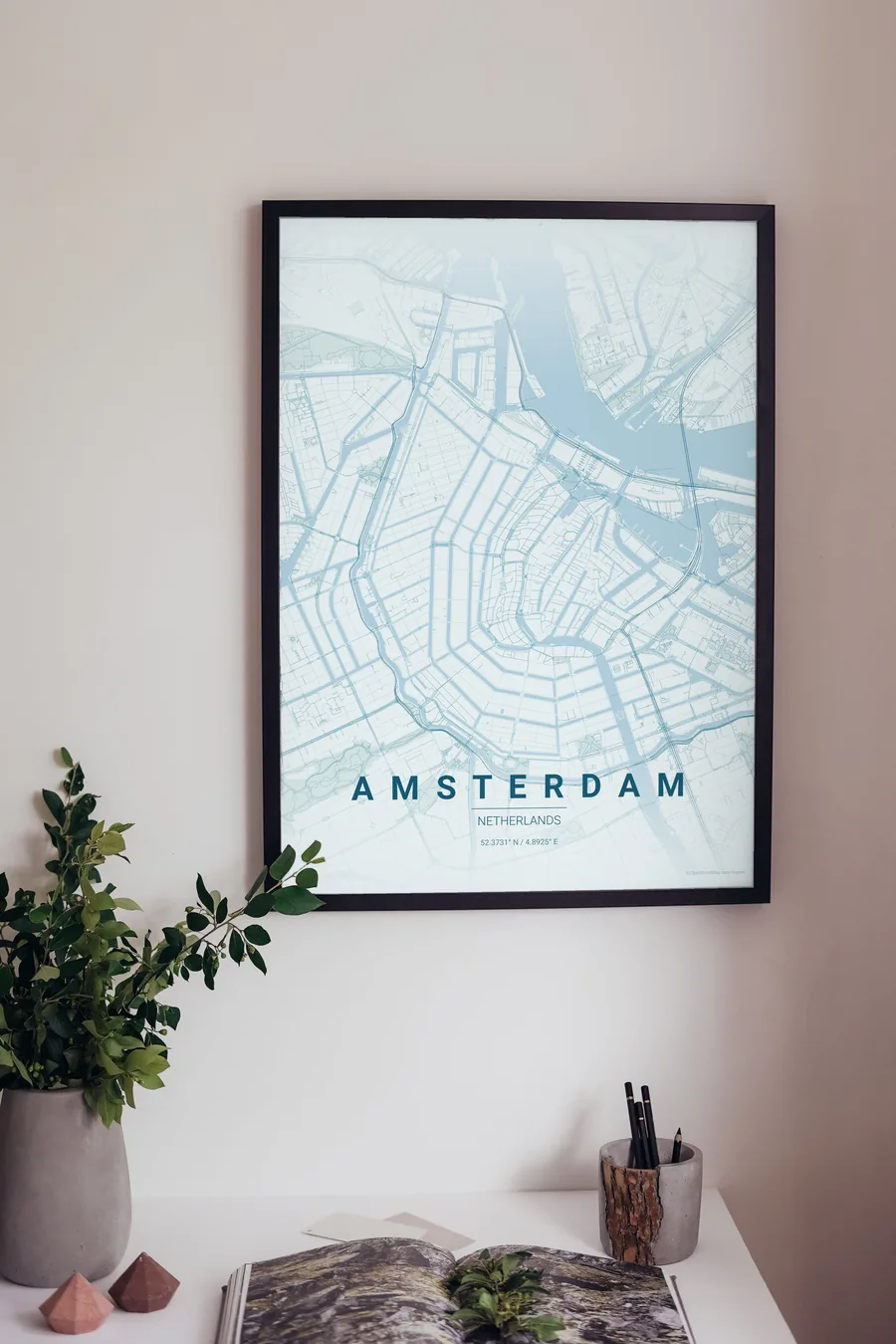
We have already rendered 5 Amsterdam designs at 300 DPI (Ocean, Blueprint, Midnight Blue, Noir, Warm Beige). Download the files for 9.99 € and print them anywhere, or order a premium matte print (A4 to 60×90 cm) with shipping included.
See all Amsterdam designs Order it printed
- Amsterdam map poster in the Ocean palette
- Amsterdam map poster in the Midnight Blue palette
- Amsterdam map poster in the Noir palette
Design your own Amsterdam poster
Pick any of the 17 palettes, set the exact centre and radius described above, choose the size and the label text (Amsterdam, or a neighbourhood name), and we render it for you from live map data after checkout. From 14 €, usually ready in 5–15 minutes.
Which size to print
City maps with lots of fine streets reward size: 30×40 cm is the sweet spot for a desk or hallway, 50×70 cm and 60×90 cm turn the map into a statement piece where individual streets remain legible from across the room. Stick to matte paper so the dark palettes do not reflect. Read the printing and framing guide.