Budapest Map Poster: Buda's hills, Pest's boulevards and the Danube between
Why Budapest works so well as a map poster
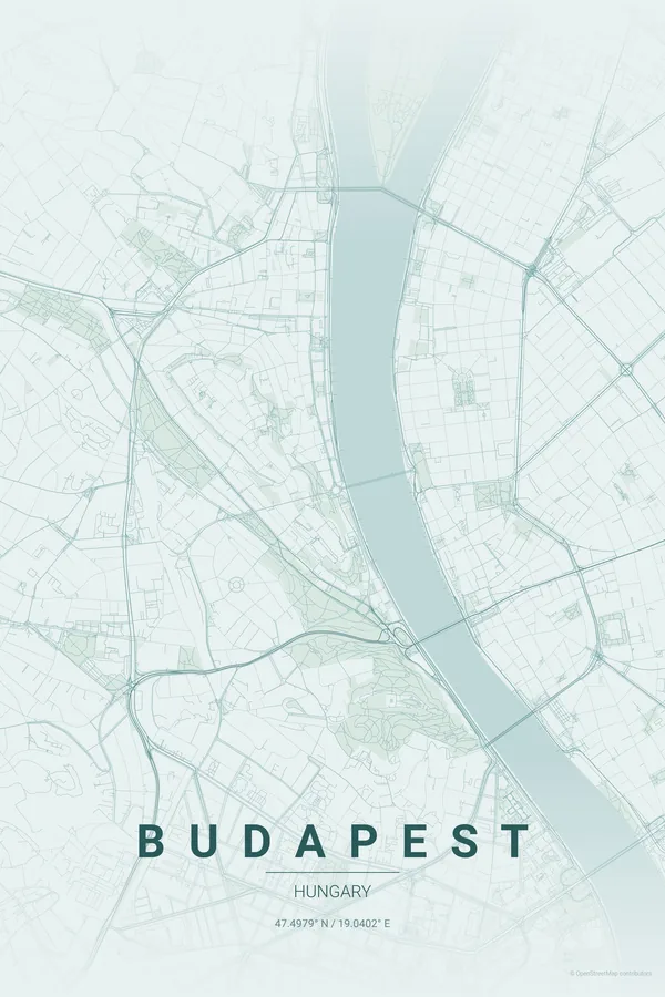
Budapest is really two cities on a map: hilly, winding Buda on the left bank, flat and rational Pest on the right, and the broad Danube between them crossed by a necklace of bridges with Margaret Island floating in the middle.
Pest's side is a textbook of 19th-century planning — the Nagykörút ring, Andrássy Avenue shooting to Heroes' Square — while Buda's contour-hugging lanes give the left half an organic softness. The contrast makes the poster.
Best palettes for Budapest
- Copper Patina — the signature pick: weathered copper greens like the city's domes and rooftops.
- Midnight Blue — Budapest is at its best lit up at night — this palette captures it.
- Warm Beige — thermal-bath warmth for a softer, classical look.
Where to centre the map and which radius to use
Centre on the Chain Bridge with a 5 km radius so the Danube splits the frame vertically with Margaret Island up top. The river becomes the poster's spine — Budapest composes itself.
Ready-made Budapest posters
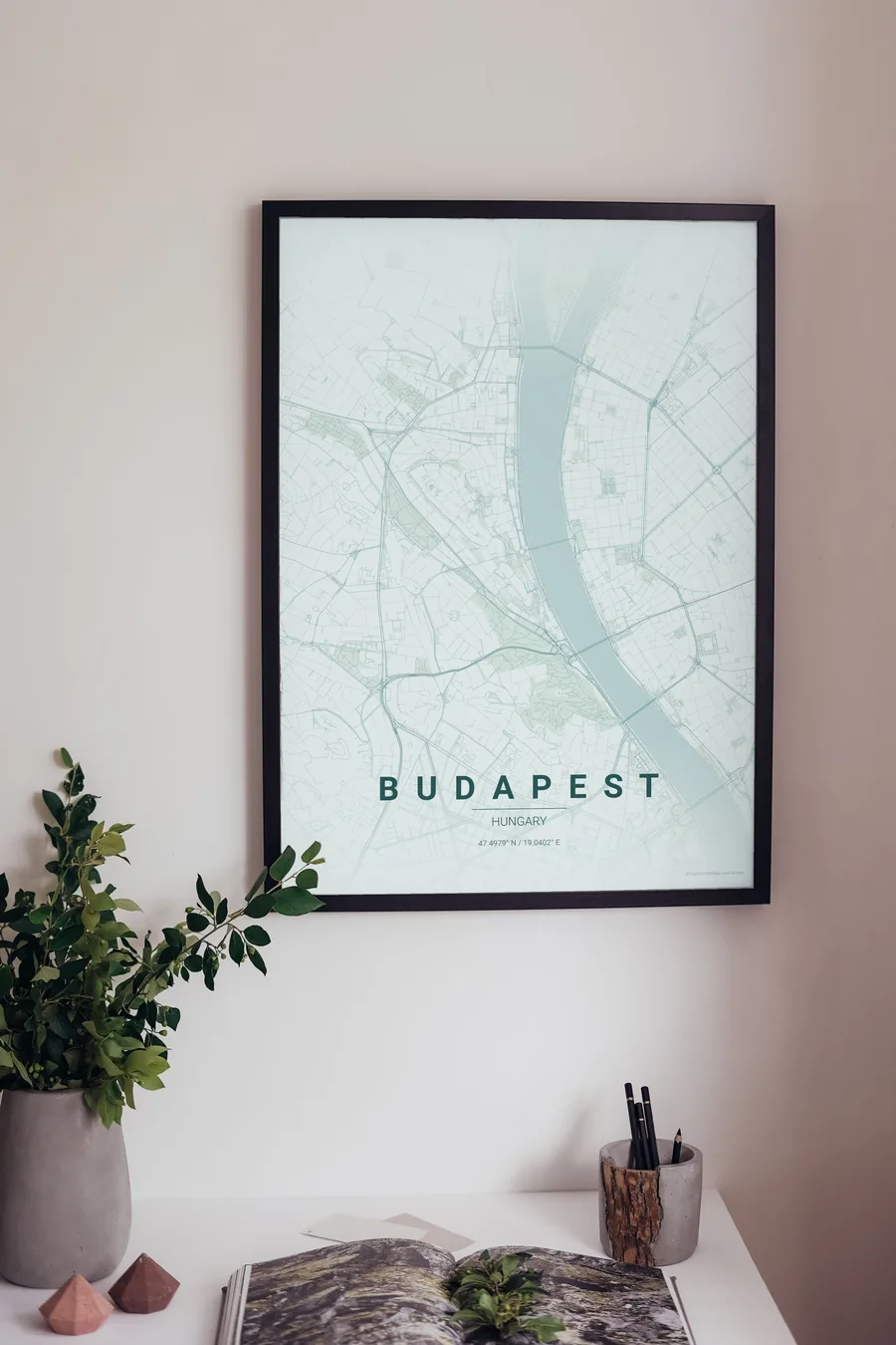
We have already rendered 5 Budapest designs at 300 DPI (Copper Patina, Blueprint, Midnight Blue, Noir, Warm Beige). Download the files for 9.99 € and print them anywhere, or order a premium matte print (A4 to 60×90 cm) with shipping included.
See all Budapest designs Order it printed
Design your own Budapest poster
Pick any of the 17 palettes, set the exact centre and radius described above, choose the size and the label text (Budapest, or a neighbourhood name), and we render it for you from live map data after checkout. From 14 €, usually ready in 5–15 minutes.
Which size to print
City maps with lots of fine streets reward size: 30×40 cm is the sweet spot for a desk or hallway, 50×70 cm and 60×90 cm turn the map into a statement piece where individual streets remain legible from across the room. Stick to matte paper so the dark palettes do not reflect. Read the printing and framing guide.