Cairo Map Poster: a thousand years of city along the Nile
Why Cairo works so well as a map poster
Cairo's map is a conversation between the Nile and a millennium of building. The river runs broad through the centre, splitting around the islands of Gezira and Roda, with the leafy streets of Zamalek filling the northern island and bridges tying everything back to Tahrir Square on the east bank.
East of the Khedivial downtown, with its Parisian avenues from the 1860s, the fabric turns medieval: the dense maze of Islamic Cairo climbs towards the Citadel, thick with minarets, while Giza spreads along the west bank towards the desert edge and the pyramids beyond the frame.
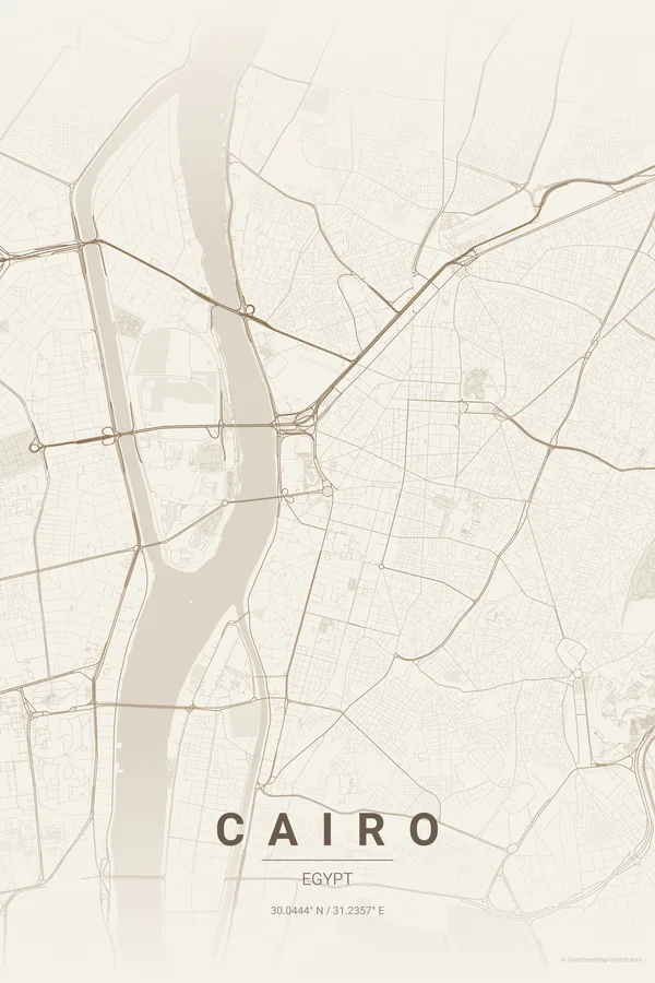
Best palettes for Cairo
- Warm Beige — the signature pick: sand and stone tones, the exact palette of the city itself.
- Midnight Blue — the Nile as a black ribbon through a city of twenty million lights.
- Noir — high-contrast black that gives the medieval maze real graphic power.
Where to centre the map and which radius to use
Centre on Tahrir Square with an 8 km radius: the Nile with both islands, downtown, Islamic Cairo up to the Citadel and a good stretch of Giza all fit in one monumental frame.
Ready-made Cairo posters
We have already rendered 5 Cairo designs at 300 DPI (Warm Beige, Blueprint, Japanese Ink, Midnight Blue, Noir). Download the files for 9.99 € and print them anywhere, or order a premium matte print (A4 to 60×90 cm) with shipping included.
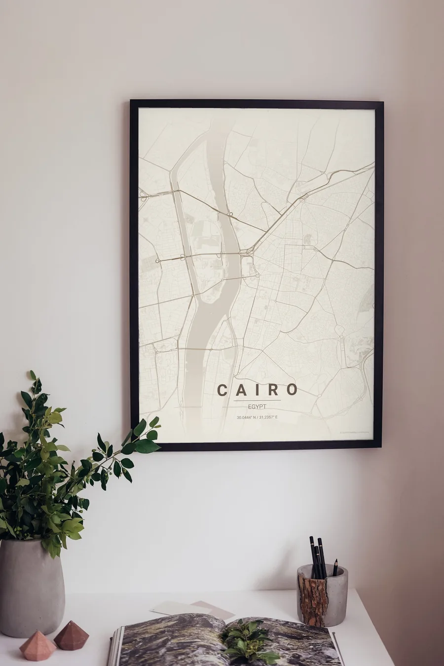
See all Cairo designs Order it printed
Design your own Cairo poster
Pick any of the 17 palettes, set the exact centre and radius described above, choose the size and the label text (Cairo, or a neighbourhood name), and we render it for you from live map data after checkout. From 14 €, usually ready in 5–15 minutes.
Which size to print
City maps with lots of fine streets reward size: 30×40 cm is the sweet spot for a desk or hallway, 50×70 cm and 60×90 cm turn the map into a statement piece where individual streets remain legible from across the room. Stick to matte paper so the dark palettes do not reflect. Read the printing and framing guide.