Cape Town Map Poster: a city pinned between Table Mountain and the sea
Why Cape Town works so well as a map poster
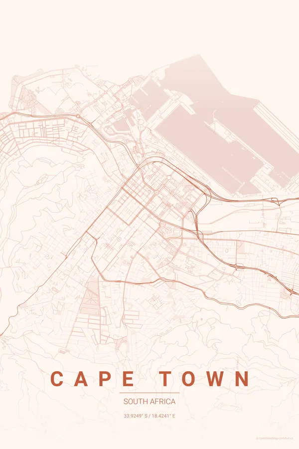
Few cities are shaped by terrain like Cape Town. The City Bowl is exactly what its name says: a compact grid poured into the amphitheatre between Table Mountain, Lion's Head and Signal Hill, opening north onto Table Bay and the piers of the V&A Waterfront.
Around the mountain the city becomes a ribbon. Sea Point and the Atlantic Seaboard hug the coast in a narrow strip under Lion's Head, the southern suburbs slip away along the eastern flank towards Kirstenbosch, and the great blank mass of the mountain itself dominates the middle of the map like an island of wilderness.
Best palettes for Cape Town
- Sunset — the signature pick: warm gradients like the light on Camps Bay at dusk.
- Midnight Blue — two oceans of deep navy wrapping a glowing shoreline of streets.
- Noir — the mountain as a void of pure black; unbeatable drama.
Where to centre the map and which radius to use
Centre on the Company's Garden with an 8 km radius: the City Bowl, the Waterfront, the Atlantic Seaboard strip and the whole dark mass of Table Mountain balance the frame; landscape suits the coastline. Landscape orientation suits this city best; every ready-made design also ships landscape versions in the extras ZIP.
Ready-made Cape Town posters
We have already rendered 5 Cape Town designs at 300 DPI (Sunset, Blueprint, Midnight Blue, Noir, Warm Beige). Download the files for 9.99 € and print them anywhere, or order a premium matte print (A4 to 60×90 cm) with shipping included.

See all Cape Town designs Order it printed
Design your own Cape Town poster
Pick any of the 17 palettes, set the exact centre and radius described above, choose the size and the label text (Cape Town, or a neighbourhood name), and we render it for you from live map data after checkout. From 14 €, usually ready in 5–15 minutes.
Which size to print
City maps with lots of fine streets reward size: 30×40 cm is the sweet spot for a desk or hallway, 50×70 cm and 60×90 cm turn the map into a statement piece where individual streets remain legible from across the room. Stick to matte paper so the dark palettes do not reflect. Read the printing and framing guide.