Copenhagen Map Poster: harbours, bikes and Scandinavian clean lines
Why Copenhagen works so well as a map poster
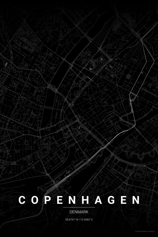
Copenhagen's map has a character all its own: flat, coastal and bisected by harbours. The inner harbour cuts the city in two, the old town and Tivoli on one side, Christianshavn and Amager on the other, with bridges stitching the halves together. The coastline is working waterfront, marinas and reclaimed land.
The street network mixes medieval organic growth around Strøget and Nyhavn with the star-shaped geometry of Frederiksstaden, planned in the 18th century around Amalienborg. Tivoli and the King's Garden appear as green rectangles, and the Lakes form a distinctive arc along the western edge of the old city.
Best palettes for Copenhagen
- Pastel Dream — soft, light, Scandinavian; the pastel houses of Nyhavn and airy hygge interiors.
- Warm Beige — clean, minimal, Nordic; lets the harbour geography do the talking.
- Ocean — a harbour city through and through; blues honour the water that defines every neighbourhood.
Where to centre the map and which radius to use
Centre on Nyhavn with a 4 km radius: inner harbour, Tivoli, Christiania, the Little Mermaid and the arc of the Lakes, essentially the whole postcard version of Copenhagen in one map.
Ready-made Copenhagen posters
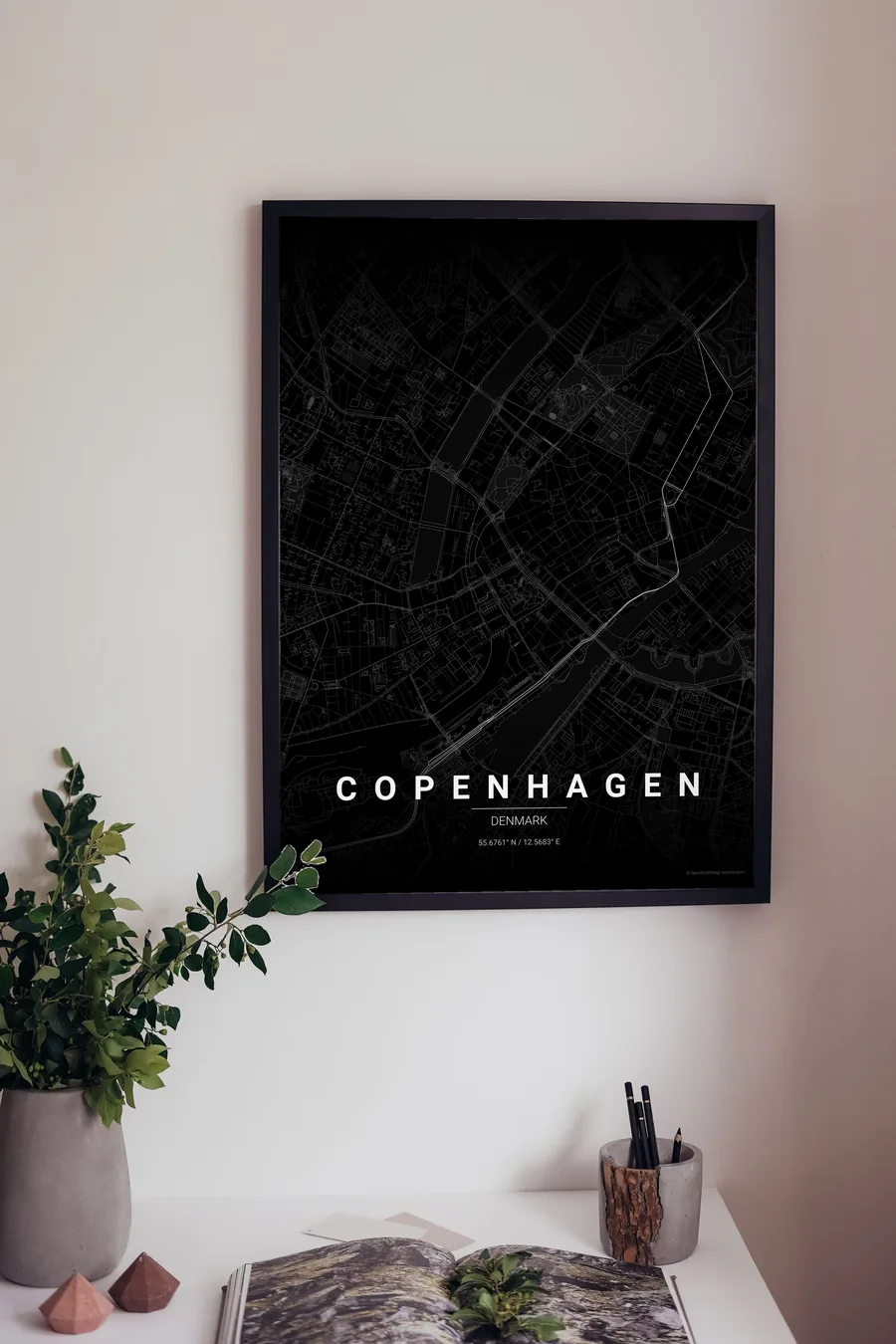
We have already rendered 5 Copenhagen designs at 300 DPI (Noir, Blueprint, Japanese Ink, Midnight Blue, Warm Beige). Download the files for 9.99 € and print them anywhere, or order a premium matte print (A4 to 60×90 cm) with shipping included.
See all Copenhagen designs Order it printed
- Copenhagen map poster in the Noir palette
- Copenhagen map poster in the Blueprint palette
- Copenhagen map poster in the Japanese Ink palette
- Copenhagen map poster in the Midnight Blue palette
Design your own Copenhagen poster
Pick any of the 17 palettes, set the exact centre and radius described above, choose the size and the label text (Copenhagen, or a neighbourhood name), and we render it for you from live map data after checkout. From 14 €, usually ready in 5–15 minutes.
Which size to print
City maps with lots of fine streets reward size: 30×40 cm is the sweet spot for a desk or hallway, 50×70 cm and 60×90 cm turn the map into a statement piece where individual streets remain legible from across the room. Stick to matte paper so the dark palettes do not reflect. Read the printing and framing guide.