Florence Map Poster: Renaissance streets along the Arno
Why Florence works so well as a map poster
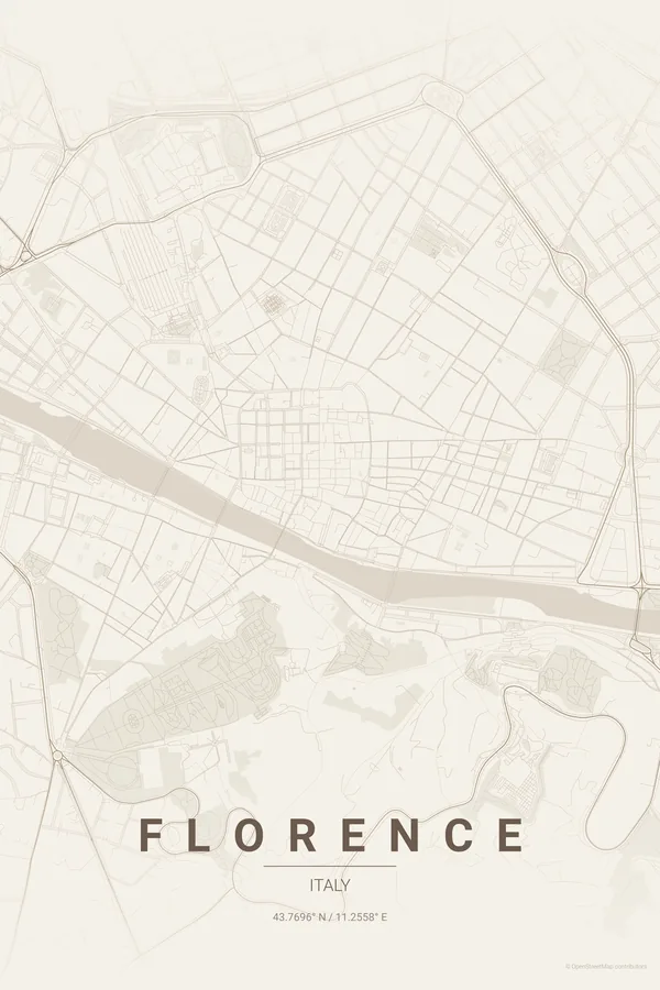
Florence is a small city with enormous presence. The Arno cuts through the centre, the Ponte Vecchio connecting the historic core to the Oltrarno, and the streets of the centro storico follow the old Roman layout: narrow, tight, almost claustrophobic from above. Around it the Tuscan hills rise and the streets begin to curve and climb.
What makes Florence special on a map is its compactness. The Duomo, the Uffizi, Santa Croce and Palazzo Pitti are all within walking distance, and the map shows why: one of the densest concentrations of Renaissance architecture in the world, drawn as an intricate, jewel-like pattern.
Best palettes for Florence
- Terracotta — there is no more appropriate palette: the dome, the rooftops, the Tuscan earth. The canonical choice.
- Copper Patina — the aged, oxidised look mirrors the Baptistery's bronze doors and the green dome of the synagogue.
- Warm Beige — a quieter elegance if terracotta feels too bold; the narrow streets become delicate line work.
Where to centre the map and which radius to use
Centre on the Duomo with a 3 km radius: the whole centro storico, the Arno with its bridges, the Oltrarno and the first hills towards Fiesole and Piazzale Michelangelo.
Ready-made Florence posters
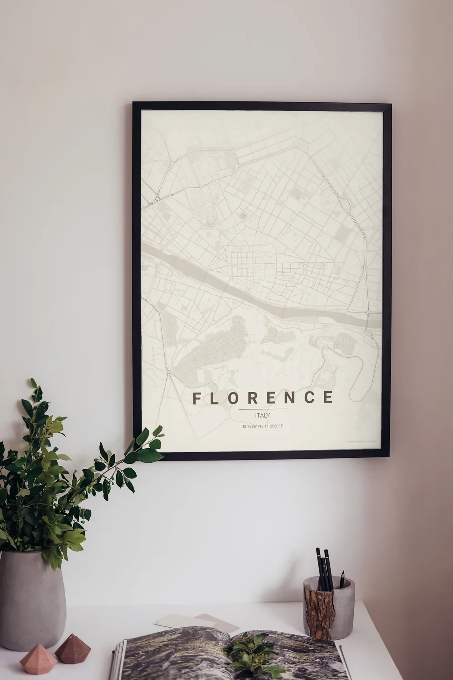
We have already rendered 5 Florence designs at 300 DPI (Warm Beige, Blueprint, Japanese Ink, Midnight Blue, Noir). Download the files for 9.99 € and print them anywhere, or order a premium matte print (A4 to 60×90 cm) with shipping included.
See all Florence designs Order it printed
- Florence map poster in the Blueprint palette
- Florence map poster in the Japanese Ink palette
- Florence map poster in the Midnight Blue palette
- Florence map poster in the Noir palette
Design your own Florence poster
Pick any of the 17 palettes, set the exact centre and radius described above, choose the size and the label text (Florence, or a neighbourhood name), and we render it for you from live map data after checkout. From 14 €, usually ready in 5–15 minutes.
Which size to print
City maps with lots of fine streets reward size: 30×40 cm is the sweet spot for a desk or hallway, 50×70 cm and 60×90 cm turn the map into a statement piece where individual streets remain legible from across the room. Stick to matte paper so the dark palettes do not reflect. Read the printing and framing guide.