Las Vegas Map Poster: the Strip, the grid and the desert
Why Las Vegas works so well as a map poster
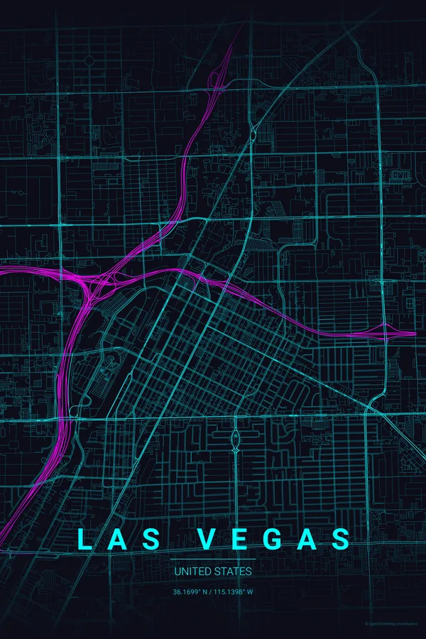
Las Vegas from above is a diagram of the American desert city. The compact grid of downtown and Fremont Street sits at the north, and from it Las Vegas Boulevard — the Strip — runs on its own diagonal south past the mega-resorts, cutting across the mile-spaced lattice of arterial roads that organises the whole valley.
Beyond the arterials, the map dissolves into master-planned loops and cul-de-sacs, golf courses and washes, with the mountains ringing the valley just off frame. No river, no old town: just pure, unapologetic geometry that reads like a glowing circuit board — especially in the right theme.
Best palettes for Las Vegas
- Neon Cyberpunk — the signature pick: neon on black for the neon capital of the world. There is no second choice.
- Midnight Blue — the valley at night from a descending plane: dark ground, glowing streets.
- Noir — all the glitter stripped away; what remains is surprisingly beautiful geometry.
Where to centre the map and which radius to use
Centre on Fremont Street with an 8 km radius: the downtown grid and the full run of the Strip down to the mega-resorts fit in one frame, with the suburban loops fading out towards the edges.
Ready-made Las Vegas posters
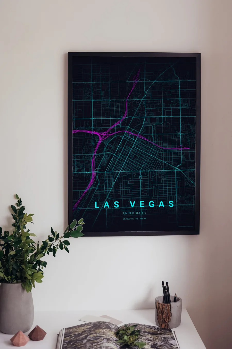
We have already rendered 5 Las Vegas designs at 300 DPI (Neon Cyberpunk, Blueprint, Midnight Blue, Noir, Warm Beige). Download the files for 9.99 € and print them anywhere, or order a premium matte print (A4 to 60×90 cm) with shipping included.
See all Las Vegas designs Order it printed
Design your own Las Vegas poster
Pick any of the 17 palettes, set the exact centre and radius described above, choose the size and the label text (Las Vegas, or a neighbourhood name), and we render it for you from live map data after checkout. From 14 €, usually ready in 5–15 minutes.
Which size to print
City maps with lots of fine streets reward size: 30×40 cm is the sweet spot for a desk or hallway, 50×70 cm and 60×90 cm turn the map into a statement piece where individual streets remain legible from across the room. Stick to matte paper so the dark palettes do not reflect. Read the printing and framing guide.