Lisbon Map Poster: seven hills, one river, endless character
Why Lisbon works so well as a map poster
Lisbon's map is shaped by geography more than almost any European capital. The Tagus dominates the southern edge, wide and opening towards the Atlantic, and the famous seven hills create a street network that zigzags and switchbacks in ways that look almost chaotic from above. That is the beauty of it.
Zoom into Alfama and you see medieval lanes so narrow they barely register; pan out and the rigid grid of the Baixa Pombalina, rebuilt after the 1755 earthquake, sits in striking contrast. Belém stretches west along the waterfront. It is a city of layers, and a map poster keeps every one.
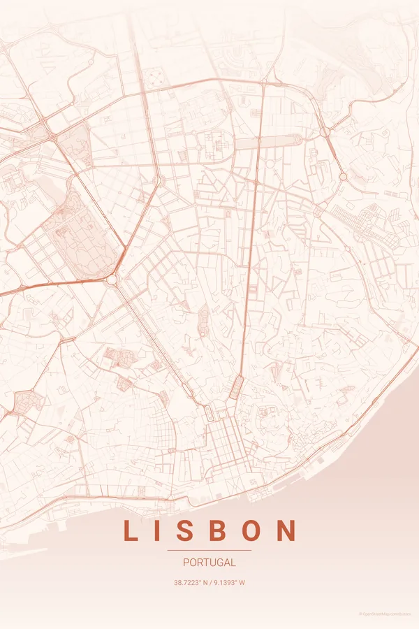
Best palettes for Lisbon
- Warm Beige — soft, sun-bleached tones that feel like Lisbon's famous light. Elegant and understated.
- Pastel Dream — pinks and lavenders echoing the azulejo façades and pastel buildings of Alfama and Graça.
- Ocean — blues that honour Lisbon as a maritime city; the Tagus becomes the centrepiece.
Where to centre the map and which radius to use
Centre on Praça do Comércio with a 5 km radius: everything from Belém's waterfront to the labyrinth of Alfama, with the 25 de Abril bridge stretching across the Tagus.
Ready-made Lisbon posters
We have already rendered 5 Lisbon designs at 300 DPI (Sunset, Blueprint, Midnight Blue, Noir, Warm Beige). Download the files for 9.99 € and print them anywhere, or order a premium matte print (A4 to 60×90 cm) with shipping included.
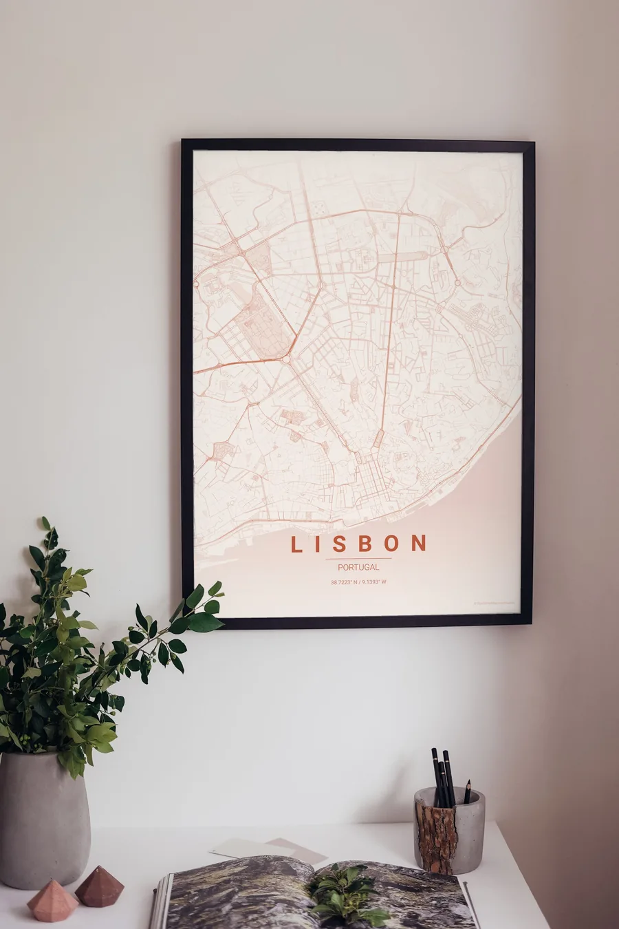
See all Lisbon designs Order it printed
- Lisbon map poster in the Sunset palette
- Lisbon map poster in the Blueprint palette
- Lisbon map poster in the Midnight Blue palette
- Lisbon map poster in the Noir palette
Design your own Lisbon poster
Pick any of the 17 palettes, set the exact centre and radius described above, choose the size and the label text (Lisbon, or a neighbourhood name), and we render it for you from live map data after checkout. From 14 €, usually ready in 5–15 minutes.
Which size to print
City maps with lots of fine streets reward size: 30×40 cm is the sweet spot for a desk or hallway, 50×70 cm and 60×90 cm turn the map into a statement piece where individual streets remain legible from across the room. Stick to matte paper so the dark palettes do not reflect. Read the printing and framing guide.