Ljubljana Map Poster: a green capital wrapped around a river bend
Why Ljubljana works so well as a map poster
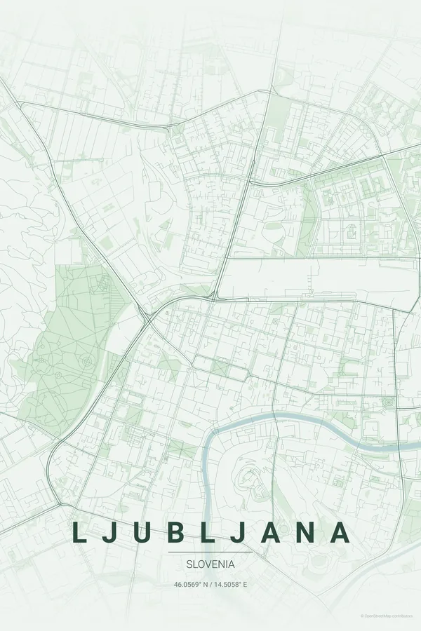
Ljubljana's map is built around one elegant gesture: the Ljubljanica river curling in a tight S through the old town, with the castle hill rising inside the bend and Plečnik's bridges — the Triple Bridge, the Cobblers' Bridge, the Dragon Bridge — stitching the two banks together.
What makes the print special is how much green presses into the frame. Tivoli Park reaches almost to the centre, Rožnik hill rolls on behind it, and the compact baroque core sits inside that greenery like a medallion. Few European capitals are this small, this legible and this pretty from above.
Best palettes for Ljubljana
- Forest — the signature pick: deep greens for one of Europe's greenest capitals, where Tivoli and the castle hill do the talking.
- Warm Beige — soft and understated, like the pastel facades along the riverfront.
- Midnight Blue — the river and bridges glow against deep navy, Ljubljana by night.
Where to centre the map and which radius to use
Centre on the Triple Bridge with a 3 km radius: the river bend, the castle hill, the old town and all of Tivoli Park fit in one calm, balanced frame. Ljubljana is small, so resist the urge to zoom out further.
Ready-made Ljubljana posters
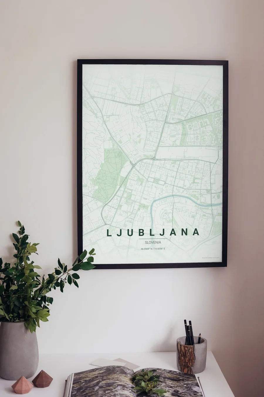
We have already rendered 5 Ljubljana designs at 300 DPI (Forest, Blueprint, Midnight Blue, Noir, Warm Beige). Download the files for 9.99 € and print them anywhere, or order a premium matte print (A4 to 60×90 cm) with shipping included.
See all Ljubljana designs Order it printed
Design your own Ljubljana poster
Pick any of the 17 palettes, set the exact centre and radius described above, choose the size and the label text (Ljubljana, or a neighbourhood name), and we render it for you from live map data after checkout. From 14 €, usually ready in 5–15 minutes.
Which size to print
City maps with lots of fine streets reward size: 30×40 cm is the sweet spot for a desk or hallway, 50×70 cm and 60×90 cm turn the map into a statement piece where individual streets remain legible from across the room. Stick to matte paper so the dark palettes do not reflect. Read the printing and framing guide.