Nice Map Poster: the Baie des Anges in one sweeping arc
Why Nice works so well as a map poster
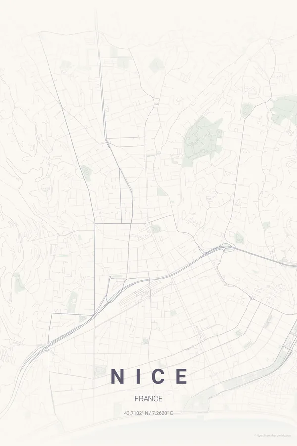
Nice is drawn along one glorious curve: the Baie des Anges, traced by the Promenade des Anglais for kilometre after kilometre of seafront. Everything in the map hangs from that arc — the tight ochre lanes of Vieux Nice at its eastern end, the Colline du Château above them, and the little port of Lympia tucked behind the headland.
Inland, the city changes register: the covered course of the Paillon river is now a ribbon of gardens running up from Place Masséna, and the orderly Belle Époque grid of the new town spreads west, climbing gently toward the hills of Cimiez. Sea, old town, grid and hills, all in one composition.
Best palettes for Nice
- Pastel Dream — the signature pick: soft Riviera pastels, the exact colours of the facades along the Cours Saleya.
- Midnight Blue — the bay turns ink-dark and the promenade glows like a necklace.
- Warm Beige — sun-washed neutrals for interiors that want the Riviera to whisper.
Where to centre the map and which radius to use
Centre on Place Masséna with a 4 km radius so the full sweep of the Promenade des Anglais, Vieux Nice, the port and the Paillon gardens share the frame. Landscape orientation follows the coastline naturally. Landscape orientation suits this city best; every ready-made design also ships landscape versions in the extras ZIP.
Ready-made Nice posters
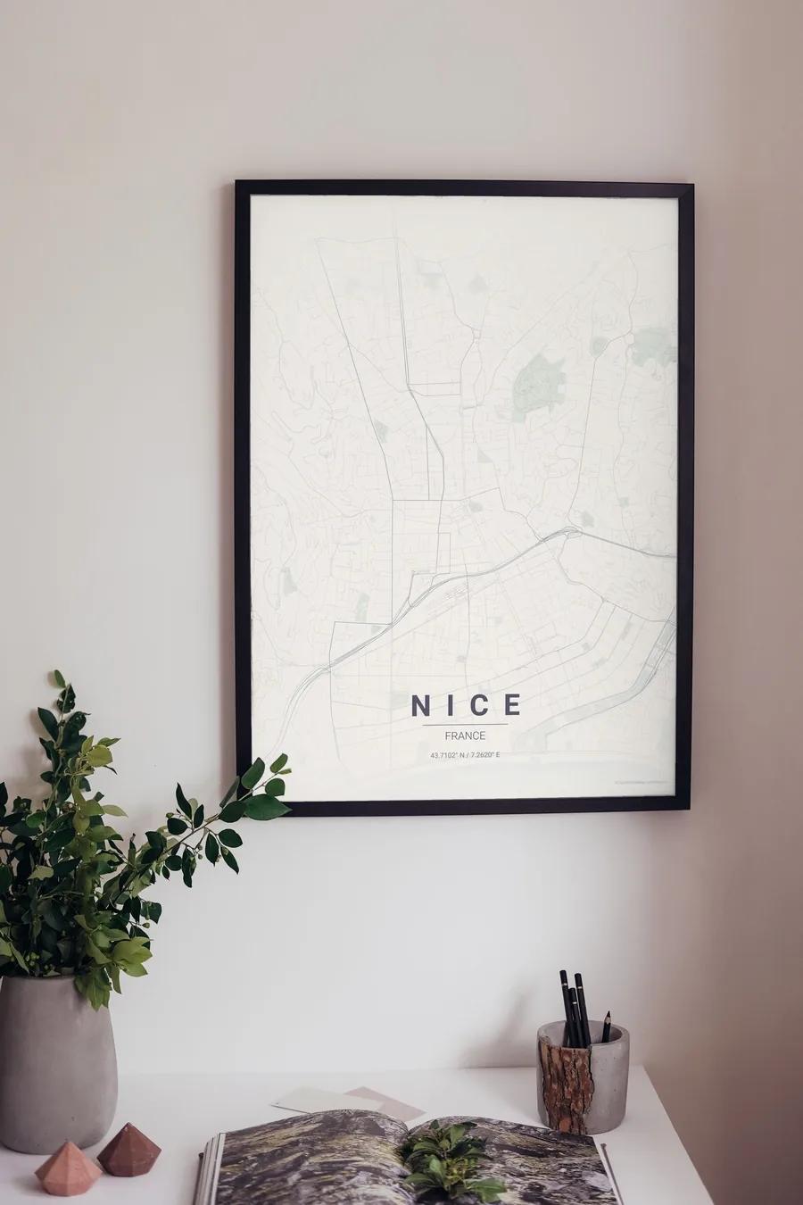
We have already rendered 5 Nice designs at 300 DPI (Pastel Dream, Blueprint, Midnight Blue, Noir, Warm Beige). Download the files for 9.99 € and print them anywhere, or order a premium matte print (A4 to 60×90 cm) with shipping included.
See all Nice designs Order it printed
Design your own Nice poster
Pick any of the 17 palettes, set the exact centre and radius described above, choose the size and the label text (Nice, or a neighbourhood name), and we render it for you from live map data after checkout. From 14 €, usually ready in 5–15 minutes.
Which size to print
City maps with lots of fine streets reward size: 30×40 cm is the sweet spot for a desk or hallway, 50×70 cm and 60×90 cm turn the map into a statement piece where individual streets remain legible from across the room. Stick to matte paper so the dark palettes do not reflect. Read the printing and framing guide.