Oslo Map Poster: a capital wedged between fjord and forest
Why Oslo works so well as a map poster
Oslo might be Europe's most balanced map: the fjord bites into the city from the south with its scatter of islands, the forested hills of Nordmarka press in from the north, and the city itself occupies the amphitheatre in between.
The centre is compact — Karl Johans gate running from the station to the palace — while the new Barcode district and the Opera's marble slopes redraw the waterfront. Water, streets and wilderness in a single frame.
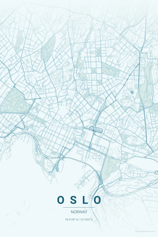
Best palettes for Oslo
- Ocean — the signature pick: fjord blues that do the composing for you.
- Noir — Nordic minimalism at its purest.
- Midnight Blue — the long northern night with glowing streets.
Where to centre the map and which radius to use
Centre on Karl Johans gate with a 5 km radius: the fjord's islands fill the lower third and the forest edge closes the top. Oslo's sparse street net keeps every line crisp even at small sizes.
Ready-made Oslo posters
We have already rendered 5 Oslo designs at 300 DPI (Ocean, Blueprint, Midnight Blue, Noir, Warm Beige). Download the files for 9.99 € and print them anywhere, or order a premium matte print (A4 to 60×90 cm) with shipping included.
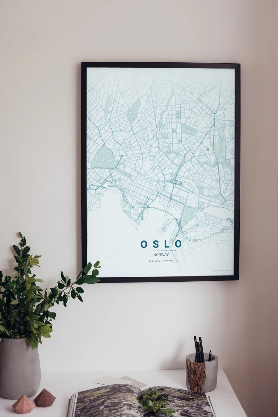
See all Oslo designs Order it printed
Design your own Oslo poster
Pick any of the 17 palettes, set the exact centre and radius described above, choose the size and the label text (Oslo, or a neighbourhood name), and we render it for you from live map data after checkout. From 14 €, usually ready in 5–15 minutes.
Which size to print
City maps with lots of fine streets reward size: 30×40 cm is the sweet spot for a desk or hallway, 50×70 cm and 60×90 cm turn the map into a statement piece where individual streets remain legible from across the room. Stick to matte paper so the dark palettes do not reflect. Read the printing and framing guide.