Philadelphia Map Poster: Penn's original grid between two rivers
Why Philadelphia works so well as a map poster
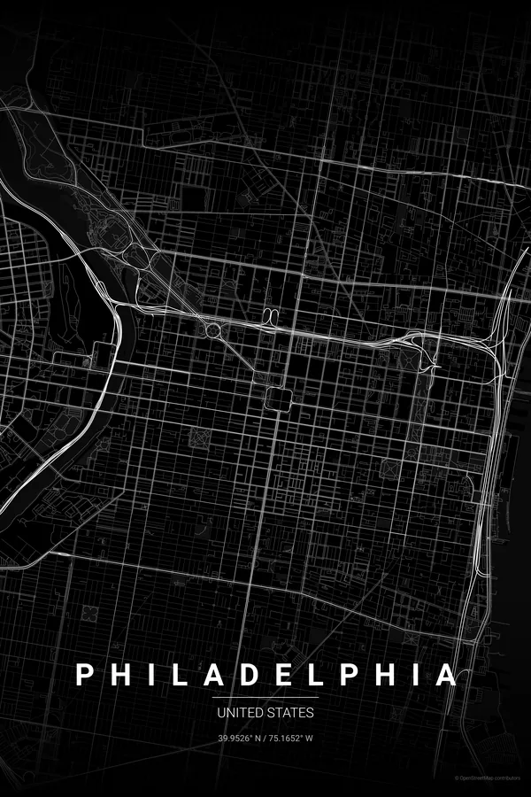
Philadelphia is where the American grid was invented. William Penn's 1682 plan stretches a neat lattice between the Delaware in the east and the Schuylkill in the west, with Broad and Market crossing exactly at City Hall and the four surviving squares — Rittenhouse, Washington, Logan and Franklin — punched into it like green stamps.
What keeps the poster from feeling rigid is the Benjamin Franklin Parkway, a single confident diagonal slicing from City Hall to the Art Museum, and Fairmount Park spreading along both banks of the Schuylkill. To the south, the rowhouse blocks tighten into one of the densest textures on any American map.
Best palettes for Philadelphia
- Noir — the signature pick: black on black turns Penn's grid into a stark, graphic statement.
- Blueprint — a drafted plan for the city where the American street plan was first drafted.
- Warm Beige — soft, brick-warm tones that echo the rowhouses of Old City and South Philly.
Where to centre the map and which radius to use
Centre on City Hall with a 4 km radius: Broad and Market cross in the exact middle of the frame, the Delaware and the Schuylkill close the composition on both sides, and the Parkway cuts its diagonal up to the Art Museum.
Ready-made Philadelphia posters
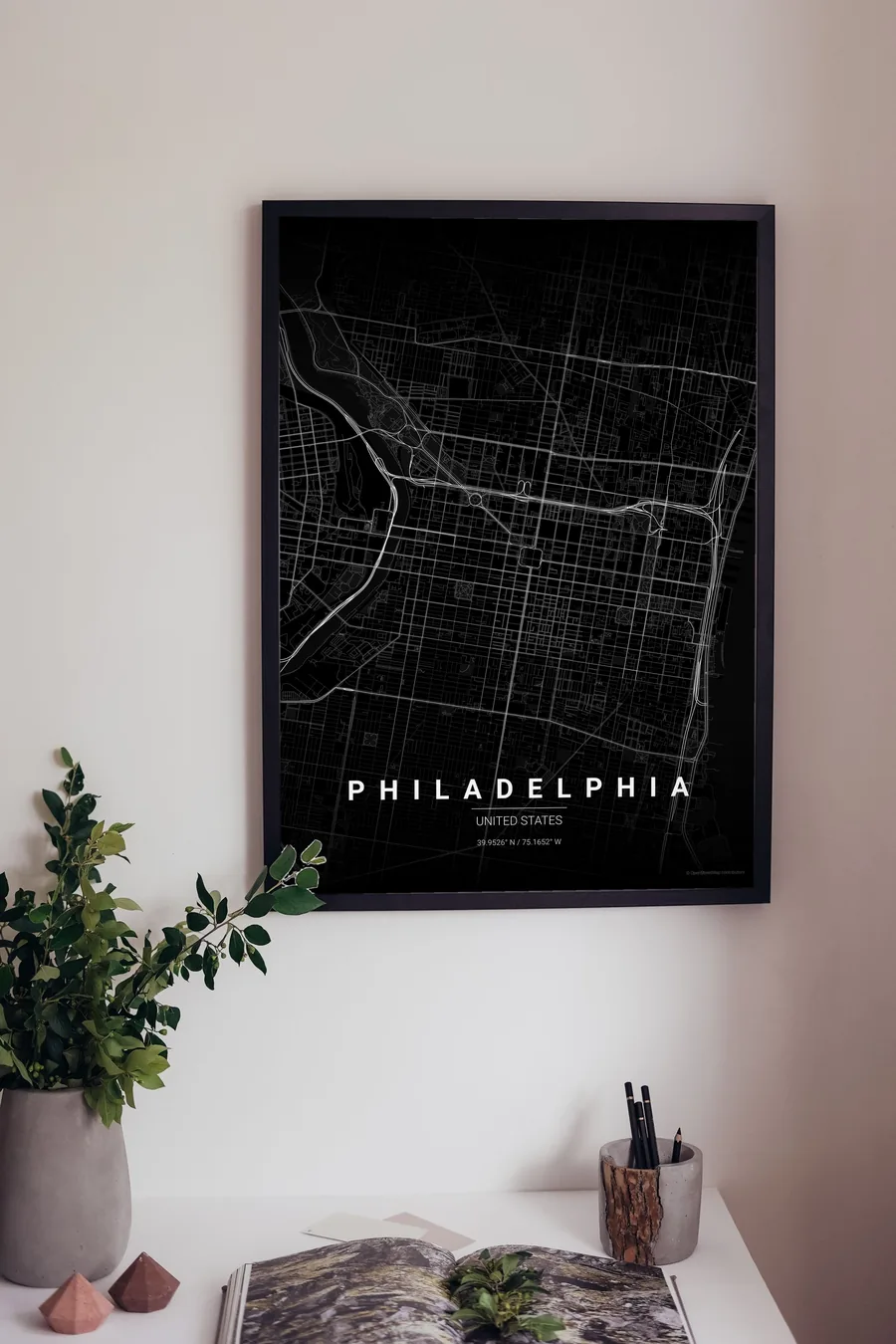
We have already rendered 5 Philadelphia designs at 300 DPI (Noir, Blueprint, Japanese Ink, Midnight Blue, Warm Beige). Download the files for 9.99 € and print them anywhere, or order a premium matte print (A4 to 60×90 cm) with shipping included.
See all Philadelphia designs Order it printed
- Philadelphia map poster in the Japanese Ink palette
- Philadelphia map poster in the Midnight Blue palette
Design your own Philadelphia poster
Pick any of the 17 palettes, set the exact centre and radius described above, choose the size and the label text (Philadelphia, or a neighbourhood name), and we render it for you from live map data after checkout. From 14 €, usually ready in 5–15 minutes.
Open Philadelphia in the editor
Which size to print
City maps with lots of fine streets reward size: 30×40 cm is the sweet spot for a desk or hallway, 50×70 cm and 60×90 cm turn the map into a statement piece where individual streets remain legible from across the room. Stick to matte paper so the dark palettes do not reflect. Read the printing and framing guide.