Portland Map Poster: bridges, tiny blocks and a forest inside the city
Why Portland works so well as a map poster
Portland's map is really two cities stitched together by bridges. The Willamette runs straight through the middle, crossed by a dozen spans in barely five kilometres — Bridgetown earns its nickname on paper — and the grids on each bank sit at slightly different angles, so the seam of the river is always visible.
Downtown's famous 60-metre blocks are among the smallest in America, giving the west side an unusually fine grain, while the north-west corner of the frame dissolves into the contour lines of Forest Park, one of the largest urban forests in the country. Green is not a detail here; it is half the composition.
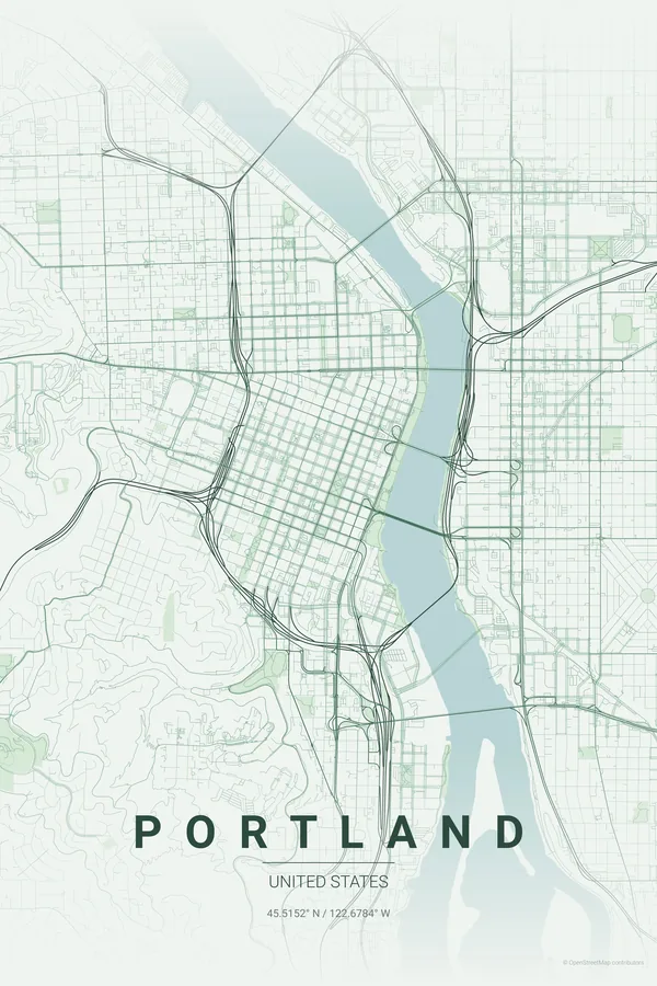
Best palettes for Portland
- Forest — the signature pick: deep greens made for a city with a forest inside its limits.
- Blueprint — technical lines that celebrate the engineering of twelve bridges in a row.
- Midnight Blue — rainy-night navy with glowing streets, very Pacific Northwest.
Where to centre the map and which radius to use
Centre on Pioneer Courthouse Square with a 5 km radius so the Willamette and its bridges run down the middle of the frame, with the fine downtown grid on one side, the east-side avenues on the other and Forest Park shading the corner.
Ready-made Portland posters
We have already rendered 5 Portland designs at 300 DPI (Forest, Blueprint, Midnight Blue, Noir, Warm Beige). Download the files for 9.99 € and print them anywhere, or order a premium matte print (A4 to 60×90 cm) with shipping included.
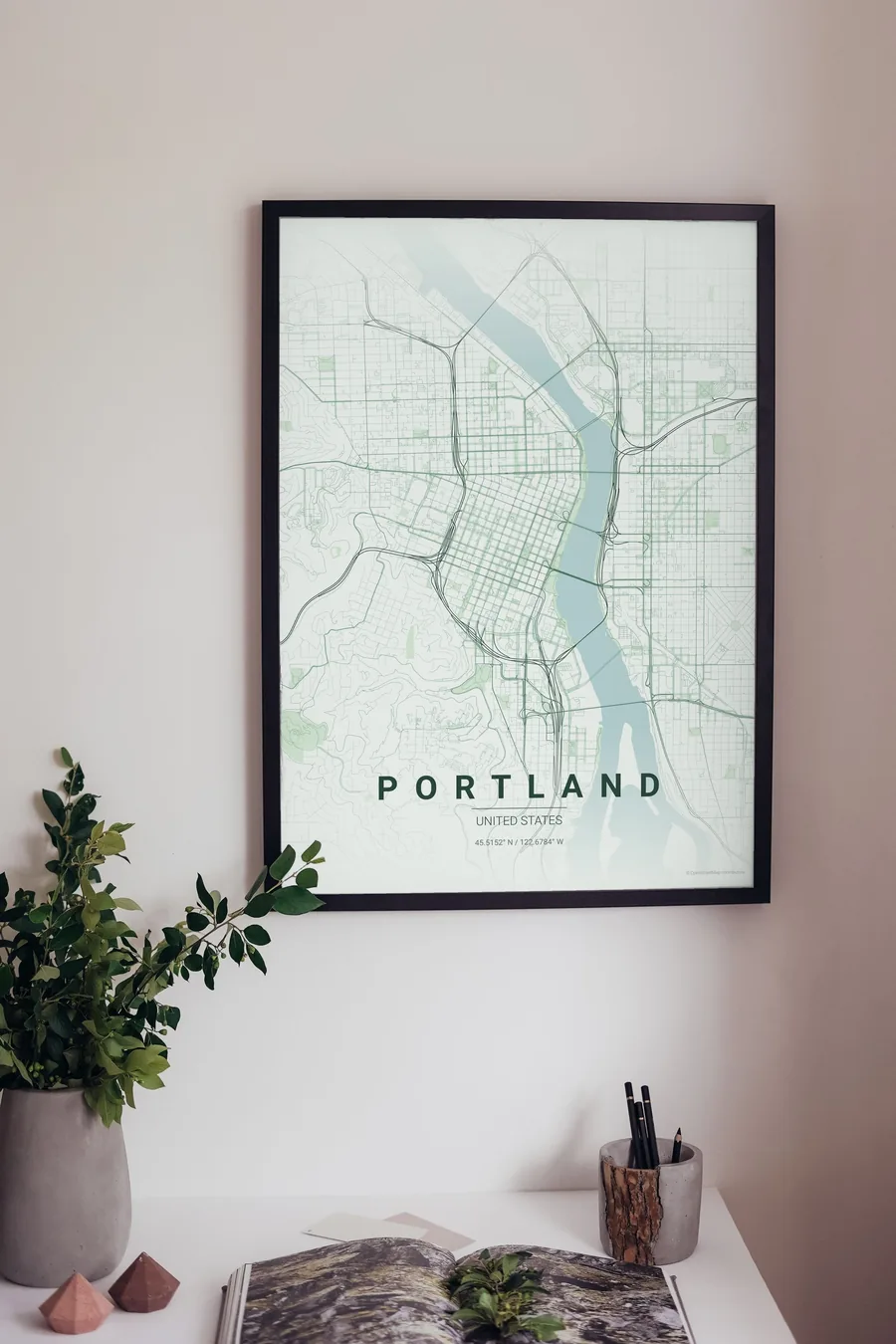
See all Portland designs Order it printed
Design your own Portland poster
Pick any of the 17 palettes, set the exact centre and radius described above, choose the size and the label text (Portland, or a neighbourhood name), and we render it for you from live map data after checkout. From 14 €, usually ready in 5–15 minutes.
Which size to print
City maps with lots of fine streets reward size: 30×40 cm is the sweet spot for a desk or hallway, 50×70 cm and 60×90 cm turn the map into a statement piece where individual streets remain legible from across the room. Stick to matte paper so the dark palettes do not reflect. Read the printing and framing guide.