Stockholm Map Poster: islands, bridges and Baltic beauty
Why Stockholm works so well as a map poster
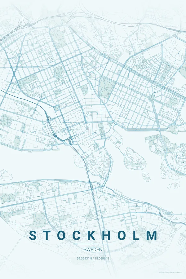
Stockholm is built on 14 islands connected by 57 bridges, and its map is a masterclass in water and land intertwined. The old town, Gamla Stan, sits on a small island at the centre surrounded by channels; Lake Mälaren opens to the west, the Baltic stretches east, and the neighbourhoods are scattered across islands and peninsulas like puzzle pieces.
The result is a map where water takes nearly as much space as land. That negative space is what makes a Stockholm poster distinctive: not just a street grid, an archipelago. Djurgården floats to the east, Södermalm sits to the south like a ship, Kungsholmen anchors the west.
Best palettes for Stockholm
- Monochrome Blue — water is the defining feature; a blue palette makes channels, lakes and coastline the undisputed stars.
- Midnight Blue — darker and moodier, like the blue hour of a Scandinavian winter: deep navy water, glowing streets.
- Blueprint — clean, technical, Nordic; form following function.
Where to centre the map and which radius to use
Stockholm's east-west spread of islands suits landscape orientation unusually well. Try a 5 km radius centred on Gamla Stan, horizontal, and the archipelago fills the frame. Landscape orientation suits this city best; every ready-made design also ships landscape versions in the extras ZIP.
Ready-made Stockholm posters
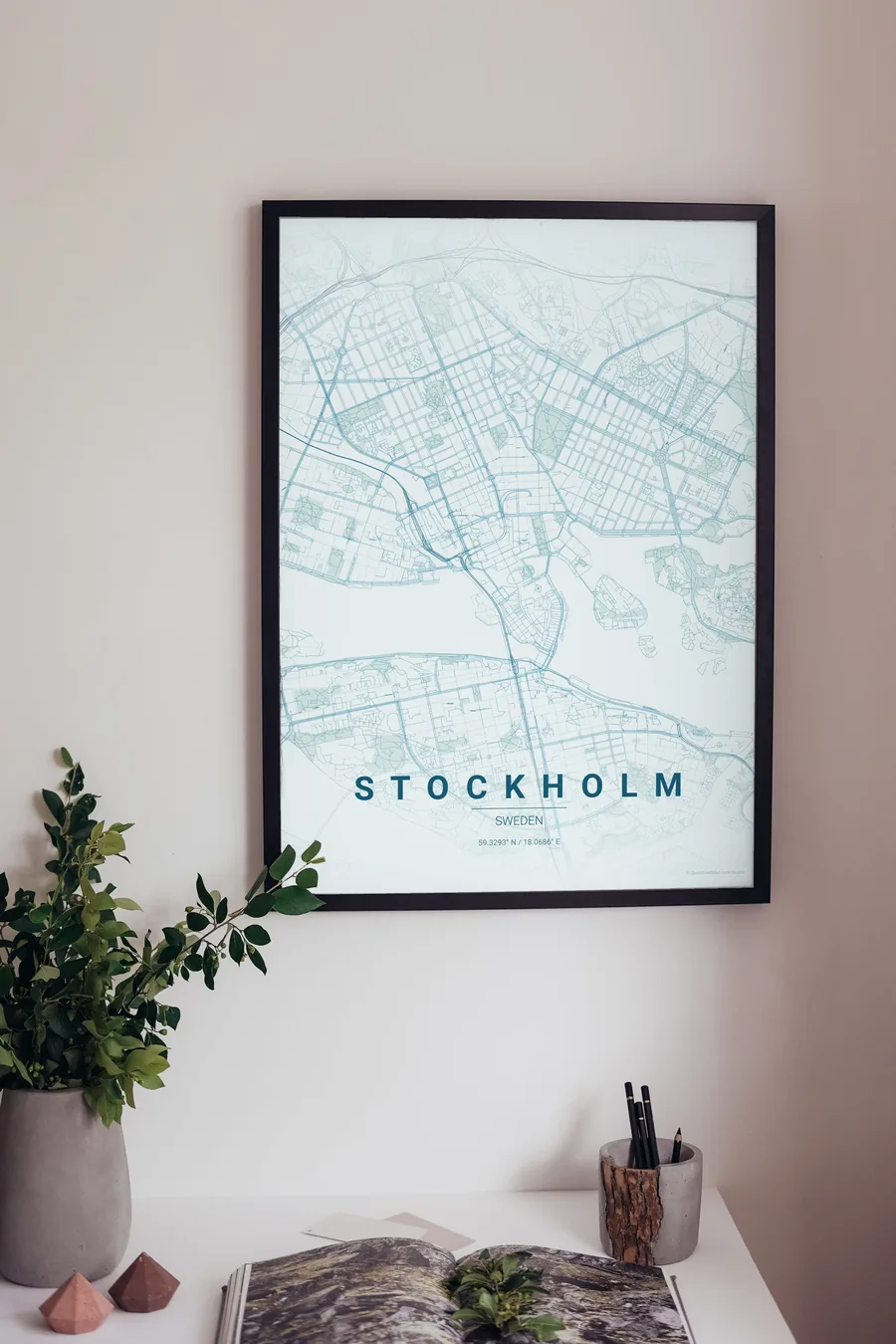
We have already rendered 5 Stockholm designs at 300 DPI (Ocean, Blueprint, Midnight Blue, Noir, Warm Beige). Download the files for 9.99 € and print them anywhere, or order a premium matte print (A4 to 60×90 cm) with shipping included.
See all Stockholm designs Order it printed
- Stockholm map poster in the Ocean palette
- Stockholm map poster in the Noir palette
- Stockholm map poster in the Warm Beige palette
Design your own Stockholm poster
Pick any of the 17 palettes, set the exact centre and radius described above, choose the size and the label text (Stockholm, or a neighbourhood name), and we render it for you from live map data after checkout. From 14 €, usually ready in 5–15 minutes.
Which size to print
City maps with lots of fine streets reward size: 30×40 cm is the sweet spot for a desk or hallway, 50×70 cm and 60×90 cm turn the map into a statement piece where individual streets remain legible from across the room. Stick to matte paper so the dark palettes do not reflect. Read the printing and framing guide.