Sydney Map Poster: the harbour that shapes a city
Why Sydney works so well as a map poster
Sydney's map is dominated by one thing: water. The harbour fractures the land into dozens of headlands, bays, inlets and peninsulas; the coastline is so jagged that it creates one of the most visually complex city maps in the world. There is so much to explore in the negative space that Sydney posters always get a second look.
The Harbour Bridge connects the North Shore to the CBD at a narrow pinch point, the Opera House sits on Bennelong Point, Bondi curves along the eastern edge, and the harbour weaves and branches through it all until the map looks almost like coral.
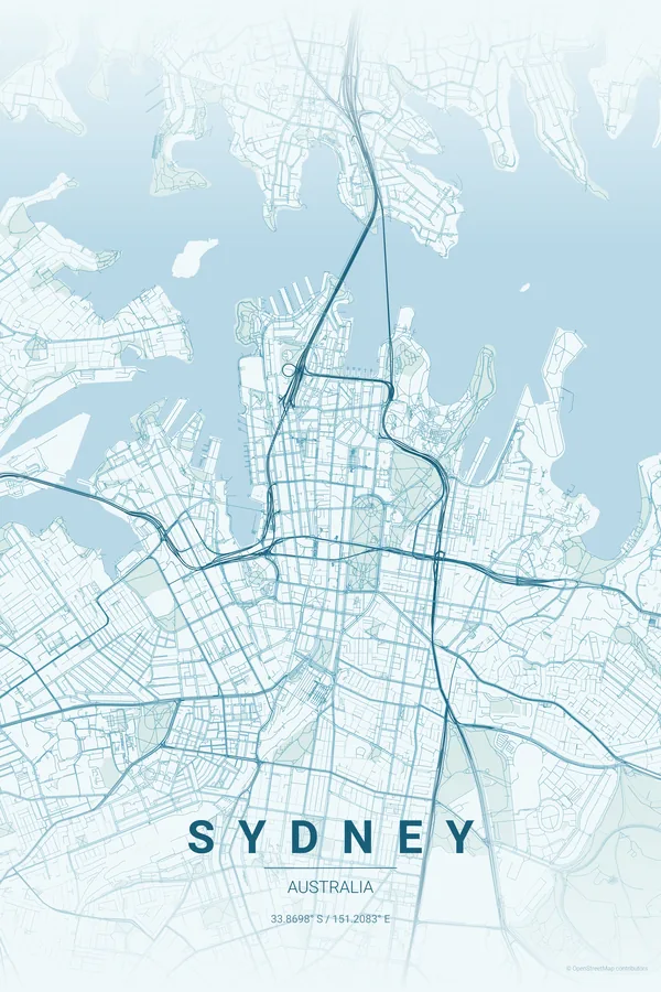
Best palettes for Sydney
- Ocean — the obvious choice, and for good reason: the harbour, the Pacific and every bay glow.
- Sunset — warm, golden tones of a Sydney summer evening; the coastline catches the light.
- Contrast Zones — dense urban blocks against open water give the poster real graphic punch.
Where to centre the map and which radius to use
Centre on the Harbour Bridge with a 6 km radius: the full harbour, the CBD, both headlands and the first beaches, giving the poster its signature water-dominated composition.
Ready-made Sydney posters
We have already rendered 5 Sydney designs at 300 DPI (Ocean, Blueprint, Midnight Blue, Noir, Warm Beige). Download the files for 9.99 € and print them anywhere, or order a premium matte print (A4 to 60×90 cm) with shipping included.
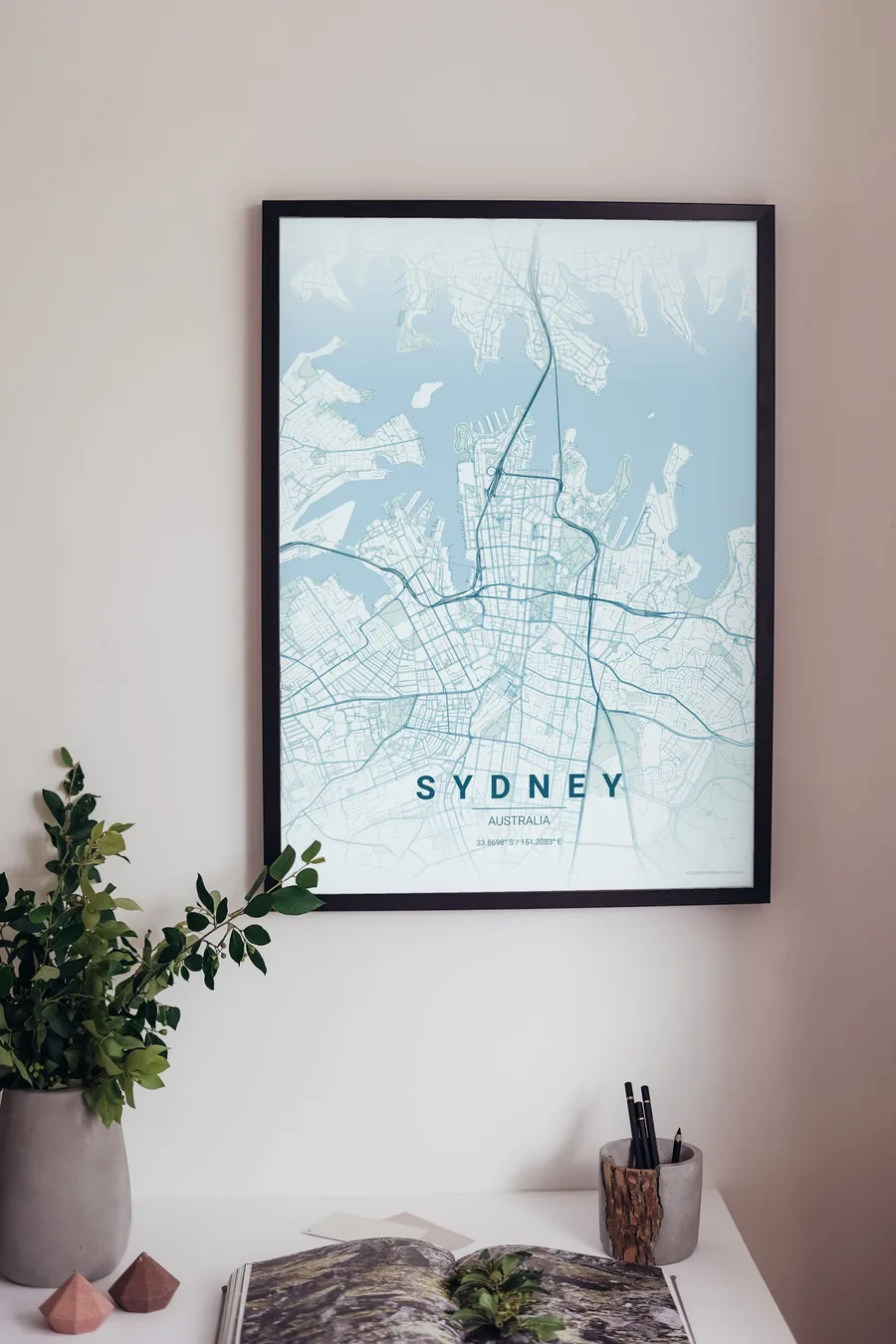
See all Sydney designs Order it printed
- Sydney map poster in the Blueprint palette
- Sydney map poster in the Midnight Blue palette
- Sydney map poster in the Noir palette
- Sydney map poster in the Warm Beige palette
Design your own Sydney poster
Pick any of the 17 palettes, set the exact centre and radius described above, choose the size and the label text (Sydney, or a neighbourhood name), and we render it for you from live map data after checkout. From 14 €, usually ready in 5–15 minutes.
Which size to print
City maps with lots of fine streets reward size: 30×40 cm is the sweet spot for a desk or hallway, 50×70 cm and 60×90 cm turn the map into a statement piece where individual streets remain legible from across the room. Stick to matte paper so the dark palettes do not reflect. Read the printing and framing guide.