Tel Aviv Map Poster: the White City stretched along the Mediterranean
Why Tel Aviv works so well as a map poster
Tel Aviv is a strip city: everything happens in a band a few kilometres wide between the Mediterranean and the Ayalon corridor. The beachfront draws one long clean edge down the frame, and behind it lie the leafy blocks of the White City — the Bauhaus district planned by Patrick Geddes — with Rothschild Boulevard and Dizengoff running through it like veins.
The composition gets its bookends from the two ends of the strip: the Yarkon River and its park close the city off to the north, while in the south the grid dissolves into the old, knotted lanes of Jaffa curling around its ancient port. Modernist order in the middle, four thousand years of history at the bottom edge.
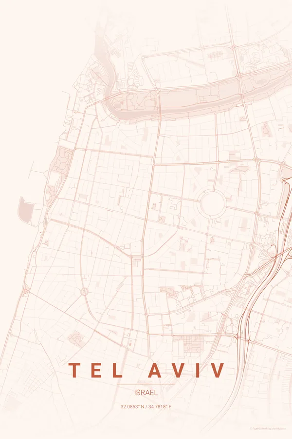
Best palettes for Tel Aviv
- Sunset — the signature pick: warm gradient tones, like the nightly show over the beachfront.
- Warm Beige — sand and white plaster, the exact palette of the Bauhaus facades.
- Midnight Blue — for the city that famously never sleeps, streets lit until dawn.
Where to centre the map and which radius to use
Centre on Dizengoff Square with a 4 km radius and go landscape: the coastline runs along one side of the frame while the White City, Rothschild Boulevard, the Yarkon and old Jaffa all fit inside the strip. Landscape orientation suits this city best; every ready-made design also ships landscape versions in the extras ZIP.
Ready-made Tel Aviv posters
We have already rendered 5 Tel Aviv designs at 300 DPI (Sunset, Blueprint, Midnight Blue, Noir, Warm Beige). Download the files for 9.99 € and print them anywhere, or order a premium matte print (A4 to 60×90 cm) with shipping included.

See all Tel Aviv designs Order it printed
Design your own Tel Aviv poster
Pick any of the 17 palettes, set the exact centre and radius described above, choose the size and the label text (Tel Aviv, or a neighbourhood name), and we render it for you from live map data after checkout. From 14 €, usually ready in 5–15 minutes.
Which size to print
City maps with lots of fine streets reward size: 30×40 cm is the sweet spot for a desk or hallway, 50×70 cm and 60×90 cm turn the map into a statement piece where individual streets remain legible from across the room. Stick to matte paper so the dark palettes do not reflect. Read the printing and framing guide.