Turin Map Poster: baroque order with the Alps at its back
Why Turin works so well as a map poster
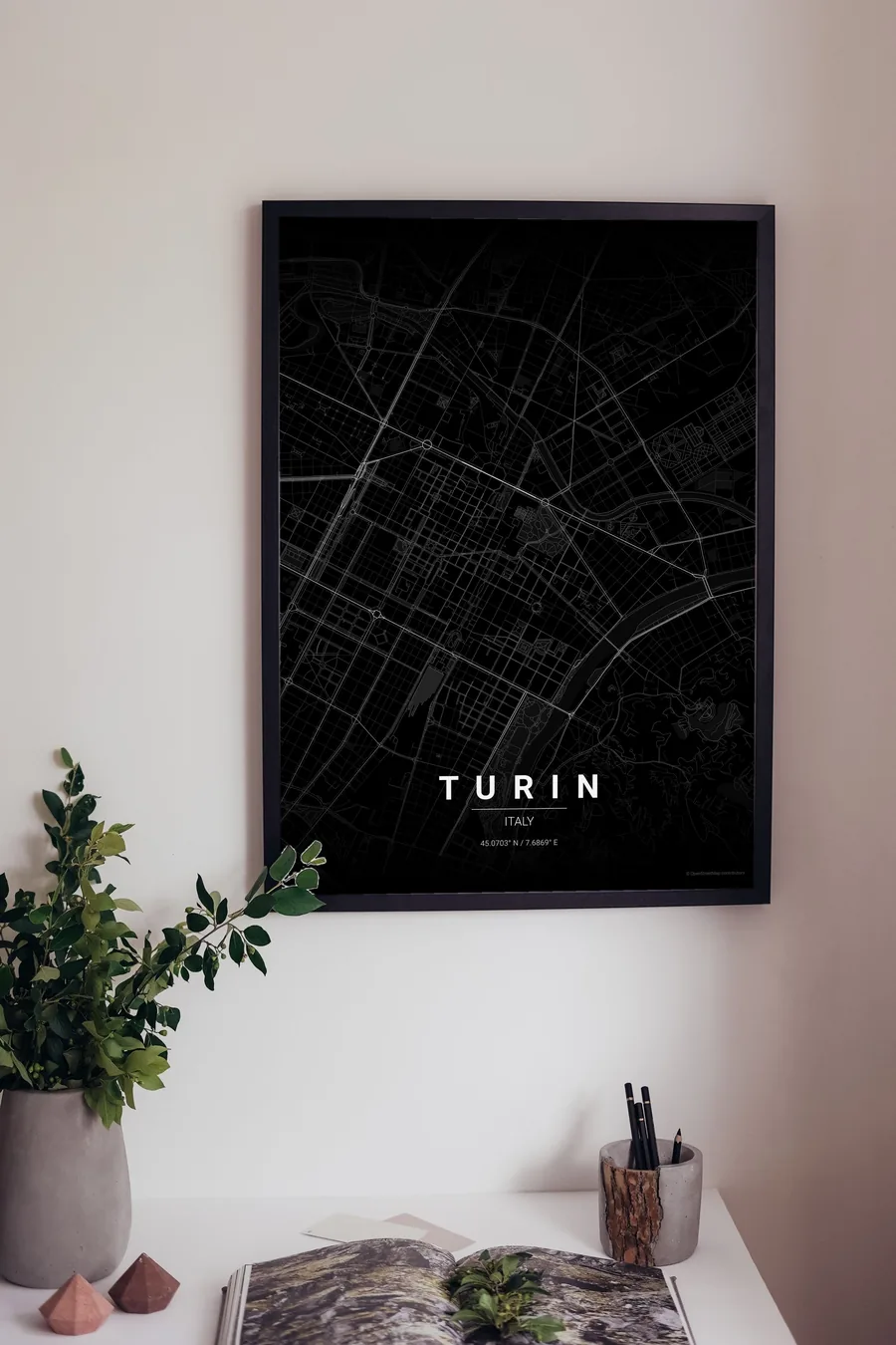
Turin is Italy's most rational map. The Roman grid of the Quadrilatero still sits at the core, and the Savoy planners extended it into ruler-straight baroque streets — Via Roma, Via Po, Via Garibaldi — that snap between grand set-piece squares, with Piazza Castello as the hinge of the whole system and eighteen kilometres of arcades hiding underneath the lines.
Then, at the eastern edge, the order stops dead: the Po slides past with the green band of Parco del Valentino on its bank, and beyond the river the hillside streets of the collina start to wander and climb. A rigid grid meeting a romantic hill is as clean a contrast as map art gets.

Best palettes for Turin
- Noir — the signature pick: black on black for the elegant, slightly mysterious magic city.
- Warm Beige — the soft ochre of the baroque facades and endless arcades.
- Blueprint — drafting-table lines for the city that drew Italy's cars.
Where to centre the map and which radius to use
Centre on Piazza Castello with a 4 km radius: the baroque grid fills the frame, the Po and Parco del Valentino draw the eastern border and the first curves of the collina bring texture to the far edge.
Ready-made Turin posters
We have already rendered 5 Turin designs at 300 DPI (Noir, Blueprint, Japanese Ink, Midnight Blue, Warm Beige). Download the files for 9.99 € and print them anywhere, or order a premium matte print (A4 to 60×90 cm) with shipping included.
See all Turin designs Order it printed
Design your own Turin poster
Pick any of the 17 palettes, set the exact centre and radius described above, choose the size and the label text (Turin, or a neighbourhood name), and we render it for you from live map data after checkout. From 14 €, usually ready in 5–15 minutes.
Which size to print
City maps with lots of fine streets reward size: 30×40 cm is the sweet spot for a desk or hallway, 50×70 cm and 60×90 cm turn the map into a statement piece where individual streets remain legible from across the room. Stick to matte paper so the dark palettes do not reflect. Read the printing and framing guide.