Germany · Japanese Ink
Frankfurt Map Poster · Japanese Ink
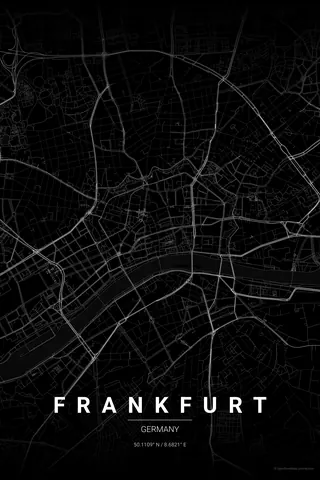
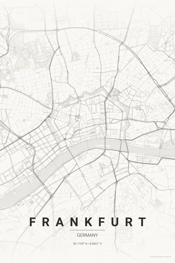
Every street, park and waterway of Frankfurt, drawn from real map data in the Japanese Ink palette. Buy the files and print anywhere, or let us print it for you.
- Digital: 4 portrait JPGs (2:3, 3:4, 4:5, ISO) at 300 DPI
- Fits 12×18 in, 30×40 cm, 16×20 in, A4/A3/A2 and more
- Extras ZIP with the 11×14 in version and all ratios in landscape
- Printed sizes A4 to 60×90 cm, €29.90–€65, shipping included
- Map data © OpenStreetMap contributors
About the Frankfurt map
Mainhattan: the river, the towers and the green ring
Frankfurt's map is organised by two curves: the Main river sweeping through the city, and the Anlagenring, the crescent of parks laid out on the demolished city walls that still encircles the centre. Inside that green ring sit the rebuilt lanes of the Altstadt around the Römer and the dense blocks of the banking district.
South of the river, Sachsenhausen adds its own finer grain, with the Museumsufer lining the embankment, while the rail lines fan dramatically into the Hauptbahnhof from the west. It is a compact, legible city that turns into a surprisingly elegant print.
Centre on the Römer with a 5 km radius: the Main, the full green Anlagenring, Sachsenhausen and the rail fan into the Hauptbahnhof all land in frame, with the old town right at the heart of the poster.
Read the full Frankfurt guideWant it your way?
Change the distance, the colours, the label or the size in the editor and get a custom render of Frankfurt.
Customize this design