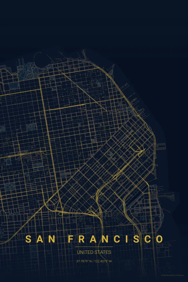
United States · Midnight Blue
San Francisco Map Poster · Midnight Blue
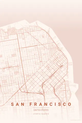
Every street, park and waterway of San Francisco, drawn from real map data in the Midnight Blue palette. Buy the files and print anywhere, or let us print it for you.
- Digital: 4 portrait JPGs (2:3, 3:4, 4:5, ISO) at 300 DPI
- Fits 12×18 in, 30×40 cm, 16×20 in, A4/A3/A2 and more
- Extras ZIP with the 11×14 in version and all ratios in landscape
- Printed sizes A4 to 60×90 cm, €29.90–€65, shipping included
About the San Francisco map
peninsula, grid and Golden Gate
San Francisco sits on a peninsula with water on three sides: the Pacific to the west, the Bay to the east and the Golden Gate strait to the north. The famous grid ignores the hills entirely, producing a map that looks deceptively orderly until you remember those straight lines climb 30-degree slopes.
The magic is in the edges: an irregular coastline dotted with piers along the Embarcadero, Golden Gate Park stretching from the centre to the ocean like a green corridor, the Presidio on the north-western tip and, at the very top, the Golden Gate Bridge reaching towards Marin.
Midnight Blue: deep and atmospheric, the fog rolling over the peninsula at twilight.
Use portrait orientation centred on Union Square with a 6 km radius: the north-south peninsula fills a vertical frame perfectly, Golden Gate at the top, the Mission at the bottom.
Read the full San Francisco guideWant it your way?
Change the distance, the colours, the label or the size in the editor and get a custom render of San Francisco.
Customize this design