New Orleans Map Poster: the Crescent City, drawn by the Mississippi
Why New Orleans works so well as a map poster
New Orleans is called the Crescent City for a reason you can only fully appreciate on a map: the Mississippi throws a huge, sweeping bend here, and the streets fan out from it like the ribs of a hand fan, each neighbourhood angled slightly differently to follow its own stretch of riverbank.
Against that fan sits the perfect little grid of the French Quarter, laid out in 1721 and still intact, with Jackson Square open to the river. Streetcar avenues like St. Charles trace the crescent uptown through the Garden District, while City Park and Bayou St. John pull the frame north toward Lake Pontchartrain.
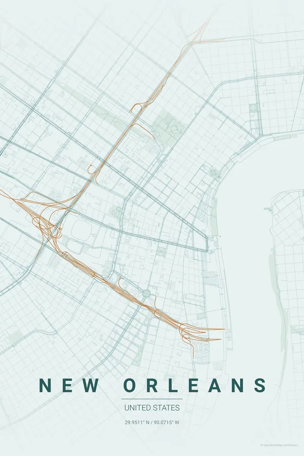
Best palettes for New Orleans
- Copper Patina — the signature pick: weathered copper and verdigris, the exact palette of the Quarter's iron balconies.
- Noir — moody black for a city that owns the night, jazz and all.
- Midnight Blue — deep delta blues, with the river as a dark ribbon through the glow.
Where to centre the map and which radius to use
Centre on Jackson Square with a 5 km radius: the French Quarter grid, the great river bend, the Garden District fan and City Park all fit, and the Mississippi becomes the undisputed hero of the frame.
Ready-made New Orleans posters
We have already rendered 5 New Orleans designs at 300 DPI (Copper Patina, Blueprint, Midnight Blue, Noir, Warm Beige). Download the files for 9.99 € and print them anywhere, or order a premium matte print (A4 to 60×90 cm) with shipping included.
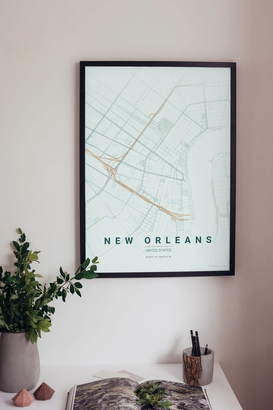
See all New Orleans designs Order it printed
Design your own New Orleans poster
Pick any of the 17 palettes, set the exact centre and radius described above, choose the size and the label text (New Orleans, or a neighbourhood name), and we render it for you from live map data after checkout. From 14 €, usually ready in 5–15 minutes.
Open New Orleans in the editor
Which size to print
City maps with lots of fine streets reward size: 30×40 cm is the sweet spot for a desk or hallway, 50×70 cm and 60×90 cm turn the map into a statement piece where individual streets remain legible from across the room. Stick to matte paper so the dark palettes do not reflect. Read the printing and framing guide.