United States · Blueprint
New Orleans Map Poster · Blueprint
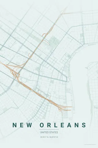
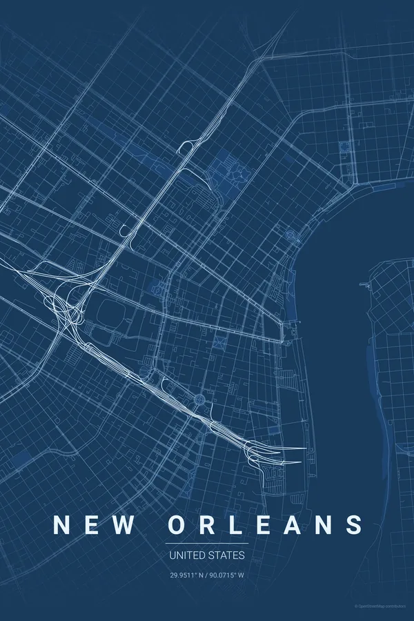
Every street, park and waterway of New Orleans, drawn from real map data in the Blueprint palette. Buy the files and print anywhere, or let us print it for you.
- Digital: 4 portrait JPGs (2:3, 3:4, 4:5, ISO) at 300 DPI
- Fits 12×18 in, 30×40 cm, 16×20 in, A4/A3/A2 and more
- Extras ZIP with the 11×14 in version and all ratios in landscape
- Printed sizes A4 to 60×90 cm, €29.90–€65, shipping included
About the New Orleans map
the Crescent City, drawn by the Mississippi
New Orleans is called the Crescent City for a reason you can only fully appreciate on a map: the Mississippi throws a huge, sweeping bend here, and the streets fan out from it like the ribs of a hand fan, each neighbourhood angled slightly differently to follow its own stretch of riverbank.
Against that fan sits the perfect little grid of the French Quarter, laid out in 1721 and still intact, with Jackson Square open to the river. Streetcar avenues like St. Charles trace the crescent uptown through the Garden District, while City Park and Bayou St. John pull the frame north toward Lake Pontchartrain.
Centre on Jackson Square with a 5 km radius: the French Quarter grid, the great river bend, the Garden District fan and City Park all fit, and the Mississippi becomes the undisputed hero of the frame.
Read the full New Orleans guideWant it your way?
Change the distance, the colours, the label or the size in the editor and get a custom render of New Orleans.
Customize this design