Seattle Map Poster: the Emerald City squeezed between two waters
Why Seattle works so well as a map poster
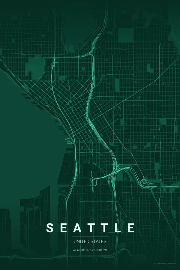
Seattle is a city on an isthmus, and the map shows it instantly: Elliott Bay and Puget Sound bite into the frame from the west, Lake Washington closes it from the east, and Lake Union sits right in the middle like a keyhole, joined to the sea by the thin thread of the ship canal and its locks.
The street pattern has a famous quirk — downtown was platted by rival founders who never agreed on an angle, so the grids collide along Yesler Way and the avenues visibly snap direction. Add the green wedges of Discovery Park, the Arboretum and Green Lake, and the nickname Emerald City starts to look like a literal description.
Best palettes for Seattle
- Emerald City — the signature pick: deep evergreen tones for the Emerald City, obviously.
- Midnight Blue — drizzly navy nights with the streets glowing like the skyline from Kerry Park.
- Blueprint — a technical nod to a city built on aircraft and software engineering.
Where to centre the map and which radius to use
Centre on Pike Place Market with a 6 km radius: Elliott Bay, Lake Union and a slice of Lake Washington all make it into the frame, with the ship canal threading between them and the colliding downtown grids in the middle.
Ready-made Seattle posters
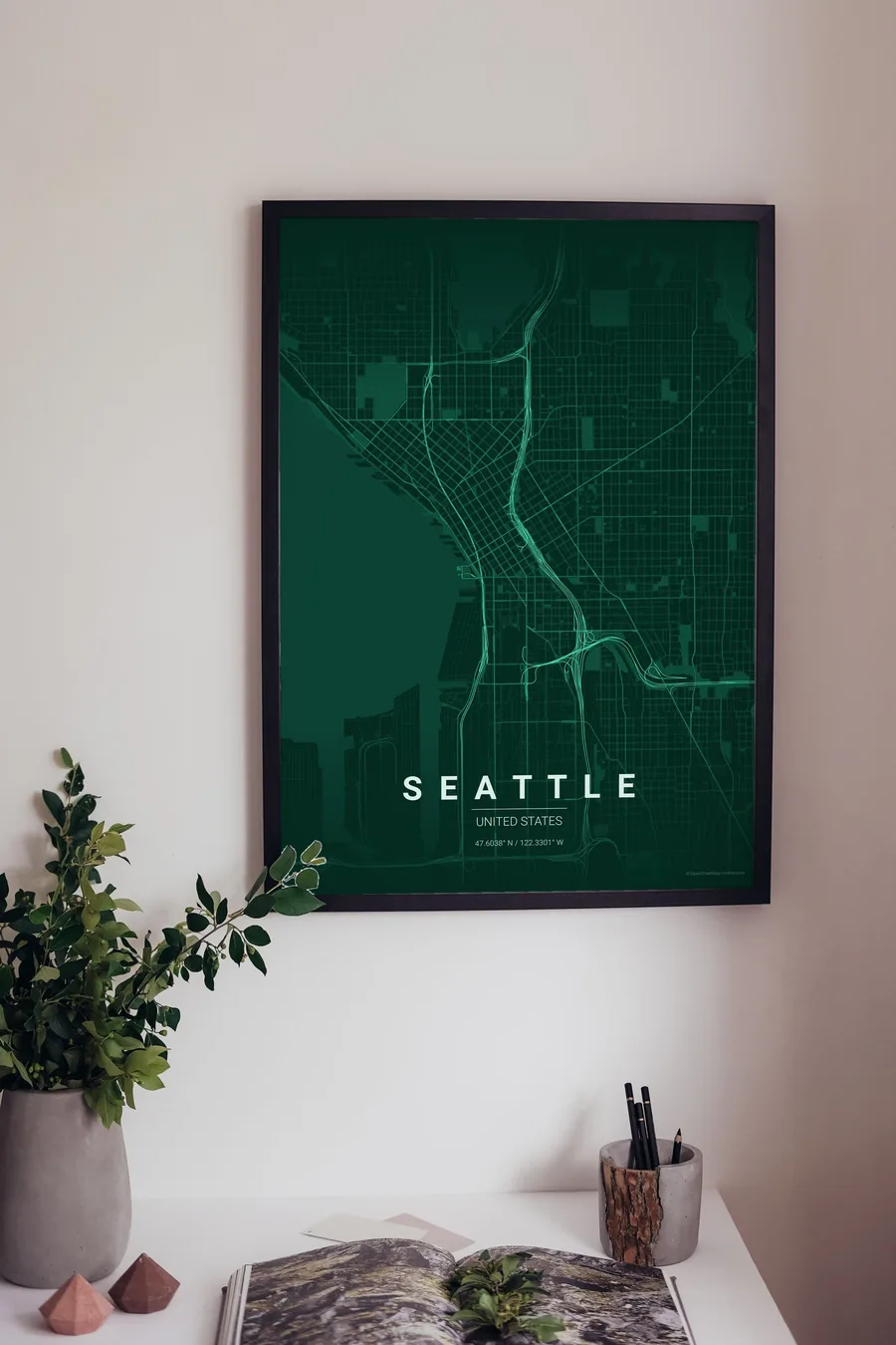
We have already rendered 5 Seattle designs at 300 DPI (Emerald City, Blueprint, Midnight Blue, Noir, Warm Beige). Download the files for 9.99 € and print them anywhere, or order a premium matte print (A4 to 60×90 cm) with shipping included.
See all Seattle designs Order it printed
Design your own Seattle poster
Pick any of the 17 palettes, set the exact centre and radius described above, choose the size and the label text (Seattle, or a neighbourhood name), and we render it for you from live map data after checkout. From 14 €, usually ready in 5–15 minutes.
Which size to print
City maps with lots of fine streets reward size: 30×40 cm is the sweet spot for a desk or hallway, 50×70 cm and 60×90 cm turn the map into a statement piece where individual streets remain legible from across the room. Stick to matte paper so the dark palettes do not reflect. Read the printing and framing guide.