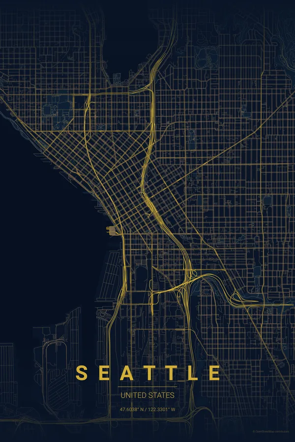
United States · Midnight Blue
Seattle Map Poster · Midnight Blue
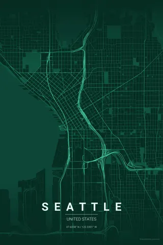
Every street, park and waterway of Seattle, drawn from real map data in the Midnight Blue palette. Buy the files and print anywhere, or let us print it for you.
- Digital: 4 portrait JPGs (2:3, 3:4, 4:5, ISO) at 300 DPI
- Fits 12×18 in, 30×40 cm, 16×20 in, A4/A3/A2 and more
- Extras ZIP with the 11×14 in version and all ratios in landscape
- Printed sizes A4 to 60×90 cm, €29.90–€65, shipping included
- Map data © OpenStreetMap contributors
About the Seattle map
the Emerald City squeezed between two waters
Seattle is a city on an isthmus, and the map shows it instantly: Elliott Bay and Puget Sound bite into the frame from the west, Lake Washington closes it from the east, and Lake Union sits right in the middle like a keyhole, joined to the sea by the thin thread of the ship canal and its locks.
The street pattern has a famous quirk — downtown was platted by rival founders who never agreed on an angle, so the grids collide along Yesler Way and the avenues visibly snap direction. Add the green wedges of Discovery Park, the Arboretum and Green Lake, and the nickname Emerald City starts to look like a literal description.
Midnight Blue: drizzly navy nights with the streets glowing like the skyline from Kerry Park.
Centre on Pike Place Market with a 6 km radius: Elliott Bay, Lake Union and a slice of Lake Washington all make it into the frame, with the ship canal threading between them and the colliding downtown grids in the middle.
Read the full Seattle guideWant it your way?
Change the distance, the colours, the label or the size in the editor and get a custom render of Seattle.
Customize this design