Belgium · Noir
Antwerp Map Poster · Noir
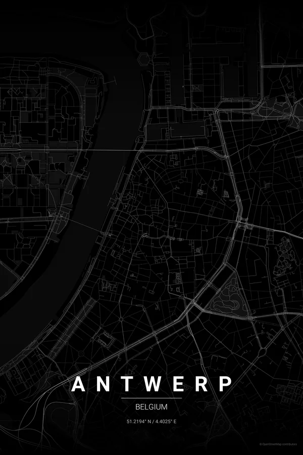
Every street, park and waterway of Antwerp, drawn from real map data in the Noir palette. Buy the files and print anywhere, or let us print it for you.
- Digital: 4 portrait JPGs (2:3, 3:4, 4:5, ISO) at 300 DPI
- Fits 12×18 in, 30×40 cm, 16×20 in, A4/A3/A2 and more
- Extras ZIP with the 11×14 in version and all ratios in landscape
- Printed sizes A4 to 60×90 cm, €29.90–€65, shipping included
- Map data © OpenStreetMap contributors
About the Antwerp map
a port city curled around a bend of the Scheldt
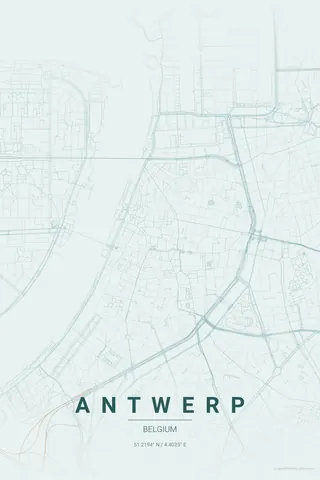
Antwerp sits on a sharp bend of the Scheldt, and that curve is what makes its map so good on a wall: the medieval core huddles against the right bank around the Grote Markt and the cathedral, wrapped by the leien boulevards that trace the old city walls in a clean arc.
Beyond the arc the print keeps giving: the star-shaped moat of Het Steen era fortifications echoed in the ring road, the elegant grid of Zuid with its museums, the diamond district pressed against Central Station, and the docks of Het Eilandje opening towards the vast port to the north.
Noir: black on black turns the river bend into pure graphic drama.
Centre on the Cathedral of Our Lady with a 4 km radius: the Scheldt bend, the old town, the leien arc and the first docks of Het Eilandje all fit in one balanced frame.
Read the full Antwerp guideWant it your way?
Change the distance, the colours, the label or the size in the editor and get a custom render of Antwerp.
Customize this design