United Kingdom · Noir
London Map Poster · Noir
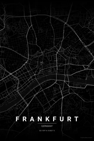
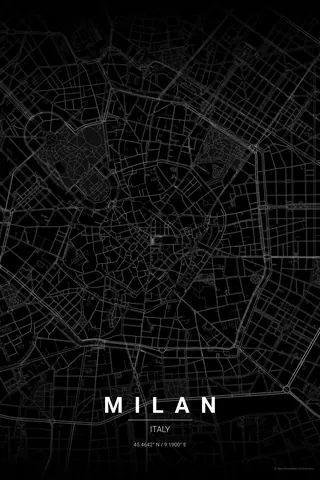
Every street, park and waterway of London, drawn from real map data in the Noir palette. Buy the files and print anywhere, or let us print it for you.
- Digital: 4 portrait JPGs (2:3, 3:4, 4:5, ISO) at 300 DPI
- Fits 12×18 in, 30×40 cm, 16×20 in, A4/A3/A2 and more
- Extras ZIP with the 11×14 in version and all ratios in landscape
- Printed sizes A4 to 60×90 cm, €29.90–€65, shipping included
- Map data © OpenStreetMap contributors
About the London map
the Thames, the parks, the history
London's map tells 2,000 years of history. The Roman street plan of the City, the medieval lanes around the Tower, the Georgian squares of Bloomsbury, the Victorian terraces spreading outward, all layered together along the sweeping curves of the Thames.
It is also one of the greenest big-city maps you can print: Hyde Park, Regent's Park, Hampstead Heath and the commons of the south read as large calm shapes against the dense street network.
Centre on Trafalgar Square with a 6 km radius for the classic composition: the Thames bending through the middle, both big parks, the City and the South Bank. For a dramatic alternative, centre on the Isle of Dogs at 4 km to get Canary Wharf, Greenwich and the Olympic Park.
Read the full London guideWant it your way?
Change the distance, the colours, the label or the size in the editor and get a custom render of London.
Customize this design