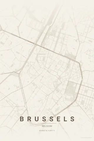
United States · Warm Beige
Atlanta Map Poster · Warm Beige
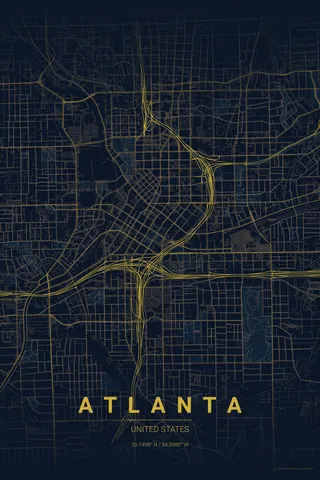
Every street, park and waterway of Atlanta, drawn from real map data in the Warm Beige palette. Buy the files and print anywhere, or let us print it for you.
- Digital: 4 portrait JPGs (2:3, 3:4, 4:5, ISO) at 300 DPI
- Fits 12×18 in, 30×40 cm, 16×20 in, A4/A3/A2 and more
- Extras ZIP with the 11×14 in version and all ratios in landscape
- Printed sizes A4 to 60×90 cm, €29.90–€65, shipping included
- Map data © OpenStreetMap contributors
About the Atlanta map
a city grown from railroads, wrapped in green
Atlanta was founded where railway lines met, and its map still shows it: instead of one master grid, small grids collide at odd angles around Downtown and Midtown, with Peachtree Street threading through them as the city's improvised spine and the Downtown Connector carving a broad concrete channel north to south.
What makes the poster special is the canopy. Atlanta is one of the most forested big cities in America, so between the freeways the streets dissolve into loose, leafy curves, with Piedmont Park as a green anchor and the BeltLine tracing a faint loop around the core.
Warm Beige: soft and understated; lets the colliding grids read as texture, not noise.
Centre on Centennial Olympic Park with an 8 km radius to catch Downtown, Midtown, Piedmont Park, the BeltLine loop and the great freeway junctions in a single sweeping frame.
Read the full Atlanta guideWant it your way?
Change the distance, the colours, the label or the size in the editor and get a custom render of Atlanta.
Customize this design