Belgium · Warm Beige
Brussels Map Poster · Warm Beige
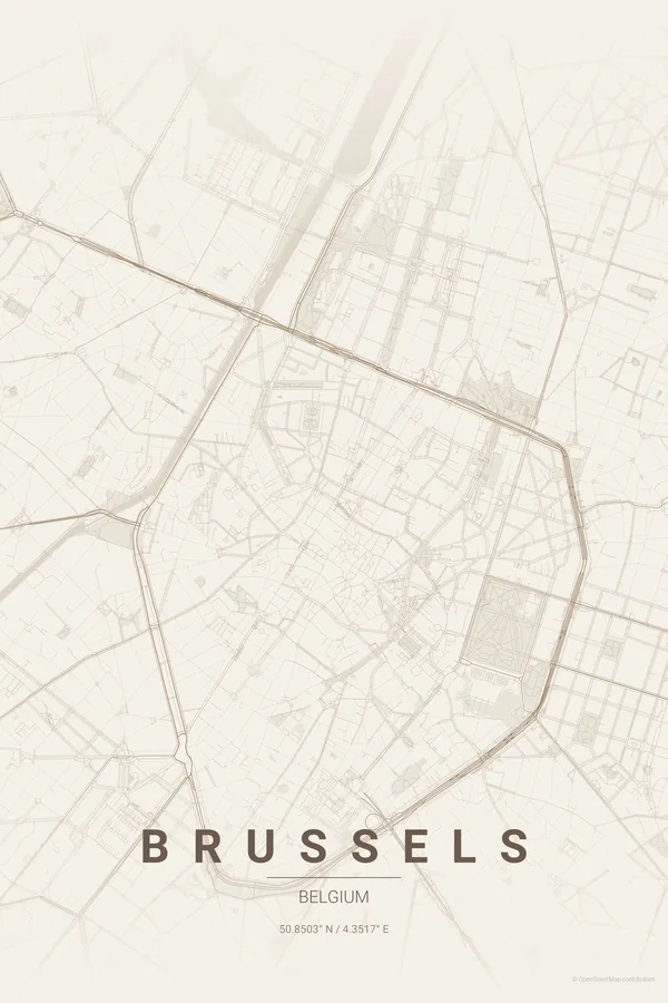
Every street, park and waterway of Brussels, drawn from real map data in the Warm Beige palette. Buy the files and print anywhere, or let us print it for you.
- Digital: 4 portrait JPGs (2:3, 3:4, 4:5, ISO) at 300 DPI
- Fits 12×18 in, 30×40 cm, 16×20 in, A4/A3/A2 and more
- Extras ZIP with the 11×14 in version and all ratios in landscape
- Printed sizes A4 to 60×90 cm, €29.90–€65, shipping included
- Map data © OpenStreetMap contributors
About the Brussels map
the pentagon, the parks and the European quarter
Brussels' historic core sits inside a near-perfect pentagon — the inner ring boulevards that replaced the second city wall — with the Grand-Place at its heart and the green axes of the Parc de Bruxelles and the Cinquantenaire striking out to the east.
Around the pentagon the map turns leafy and grand: Art-Nouveau Ixelles with its ponds, the huge beech forest of the Bois de la Cambre entering from the south, and the European quarter's glass blocks filling the middle ground.
Warm Beige: grand-café cream and gilt — Brussels' natural tones.
Centre on the Grand-Place with a 5 km radius: the pentagon sits centred with the Cinquantenaire's arcade to the east and the Bois de la Cambre entering from the south. The ring reads best in high-contrast palettes.
Read the full Brussels guideWant it your way?
Change the distance, the colours, the label or the size in the editor and get a custom render of Brussels.
Customize this design