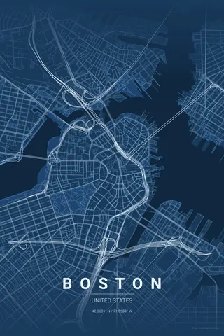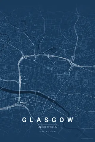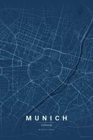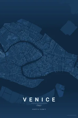
Germany · Blueprint
Berlin Map Poster · Blueprint
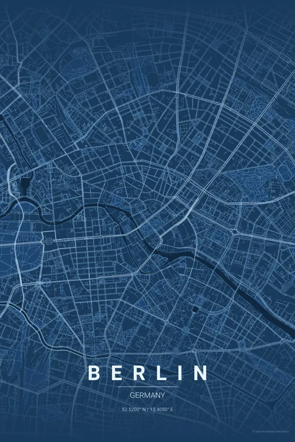
Every street, park and waterway of Berlin, drawn from real map data in the Blueprint palette. Buy the files and print anywhere, or let us print it for you.
- Digital: 4 portrait JPGs (2:3, 3:4, 4:5, ISO) at 300 DPI
- Fits 12×18 in, 30×40 cm, 16×20 in, A4/A3/A2 and more
- Extras ZIP with the 11×14 in version and all ratios in landscape
- Printed sizes A4 to 60×90 cm, €29.90–€65, shipping included
- Map data © OpenStreetMap contributors
About the Berlin map
a city divided, reunited, remapped
Berlin's map reads like a history lesson: the broad boulevards of the east, the dense organic streets of Kreuzberg, the enormous green rectangle of the Tiergarten in the centre and the Spree winding through it all. Unlike Paris or Barcelona, Berlin has no single master plan; it is a patchwork of eras, and that is exactly what makes its map compelling.
Every neighbourhood tells a different story: the rigid geometry around Alexanderplatz, the curving village-like streets of Prenzlauer Berg, the wide open spaces where the Wall once stood. A Berlin map poster keeps all of that texture.
Centre on the Brandenburg Gate with a 6 km radius. Friends will trace where the Wall ran: the wide gaps in the street network are still visible from above, with the Tiergarten and the Spree anchoring the middle.
Read the full Berlin guideWant it your way?
Change the distance, the colours, the label or the size in the editor and get a custom render of Berlin.
Customize this design