United States · Blueprint
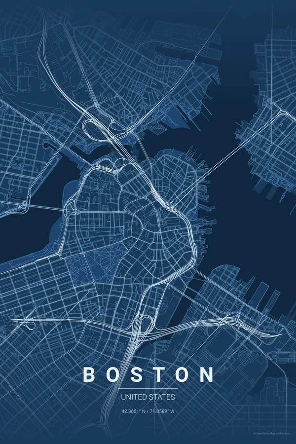
Boston Map Poster · Blueprint
Every street, park and waterway of Boston, drawn from real map data in the Blueprint palette. Buy the files and print anywhere, or let us print it for you.
- Digital: 4 portrait JPGs (2:3, 3:4, 4:5, ISO) at 300 DPI
- Fits 12×18 in, 30×40 cm, 16×20 in, A4/A3/A2 and more
- Extras ZIP with the 11×14 in version and all ratios in landscape
- Printed sizes A4 to 60×90 cm, €29.90–€65, shipping included
- Map data © OpenStreetMap contributors
About the Boston map
colonial lanes meeting a perfect Victorian grid
Boston's map tells its history in two textures. Downtown and the North End keep the tangled lanes of the colonial town, streets that really did follow paths and shorelines; right beside them, Back Bay answers with an immaculate grid laid on filled land, its cross streets running in alphabetical order from Arlington to Hereford.
The Charles River basin separates Boston from Cambridge in a broad blue band crossed by a rhythm of bridges, with MIT on the far shore, while the Common and the Public Garden anchor the centre in green and the Emerald Necklace trails away to the southwest.
Blueprint: the signature pick: technical cyan for America's great university city.
Centre on Boston Common with a 5 km radius to hold the colonial core, the Back Bay grid, the Charles basin with Cambridge and MIT, and the harbour edge in a single frame.
Read the full Boston guideWant it your way?
Change the distance, the colours, the label or the size in the editor and get a custom render of Boston.
Customize this design