Croatia · Noir
Dubrovnik Map Poster · Noir
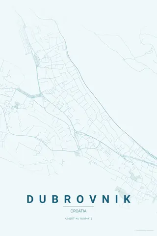
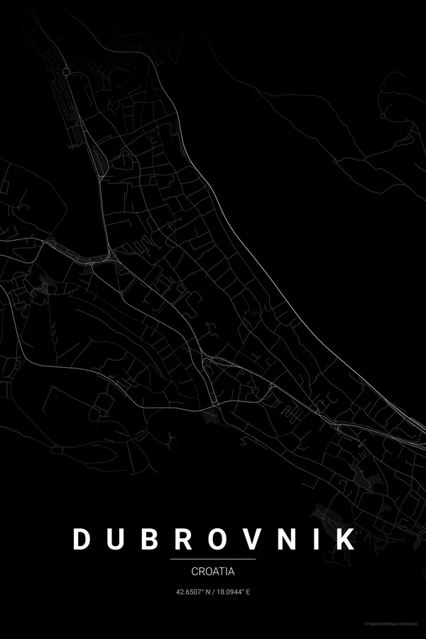
Every street, park and waterway of Dubrovnik, drawn from real map data in the Noir palette. Buy the files and print anywhere, or let us print it for you.
- Digital: 4 portrait JPGs (2:3, 3:4, 4:5, ISO) at 300 DPI
- Fits 12×18 in, 30×40 cm, 16×20 in, A4/A3/A2 and more
- Extras ZIP with the 11×14 in version and all ratios in landscape
- Printed sizes A4 to 60×90 cm, €29.90–€65, shipping included
- Map data © OpenStreetMap contributors
About the Dubrovnik map
the walled city on the Adriatic
Dubrovnik's map is tiny and perfect. Inside the walls, the Stradun cuts a single straight line through the old town while narrow lanes climb the slopes on either side in tight parallel steps, the whole ensemble pressed hard against the Adriatic and ringed by its famous fortifications.
Outside the walls the drama continues: the coast road threading west past Gruž harbour, the green Lapad and Babin Kuk peninsulas reaching into the sea, the wooded island of Lokrum floating just offshore and Mount Srđ rising like a wall behind it all. The sea does half the composition for you.
Noir: dramatic black on black; the walled city becomes a dark jewel against the empty sea.
Centre on the Stradun with a 3 km radius: the walled old town, Lokrum, Gruž harbour and the Lapad peninsula all fit, and the landscape orientation lets the coastline stretch across the full width of the frame.
Read the full Dubrovnik guideWant it your way?
Change the distance, the colours, the label or the size in the editor and get a custom render of Dubrovnik.
Customize this design