Japan · Warm Beige
Kyoto Map Poster · Warm Beige
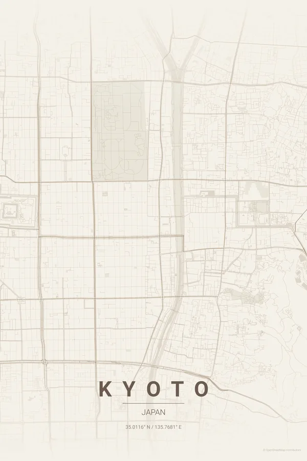
Every street, park and waterway of Kyoto, drawn from real map data in the Warm Beige palette. Buy the files and print anywhere, or let us print it for you.
- Digital: 4 portrait JPGs (2:3, 3:4, 4:5, ISO) at 300 DPI
- Fits 12×18 in, 30×40 cm, 16×20 in, A4/A3/A2 and more
- Extras ZIP with the 11×14 in version and all ratios in landscape
- Printed sizes A4 to 60×90 cm, €29.90–€65, shipping included
About the Kyoto map
a thousand-year grid between the mountains
Kyoto is Japan's great grid: laid out in the 8th century after the Chinese capital Chang'an, its streets still run compass-straight between the mountains that close the city on three sides. The Kamo River draws a clean vertical line through the pattern.
The poster's beauty is in the edges — where the perfect grid dissolves into the temple-studded foothills of Higashiyama and Arashiyama, and the Imperial Palace and Nijo Castle punch rectangular voids into the weave.
Warm Beige: tatami and cedar tones for a serene, natural print.
Centre on the Imperial Palace with a 6 km radius: the grid fills the frame with the Kamo River as its axis and the mountains fading at the edges. Kyoto in japanese_ink is our single most-loved combination.
Read the full Kyoto guideWant it your way?
Change the distance, the colours, the label or the size in the editor and get a custom render of Kyoto.
Customize this design