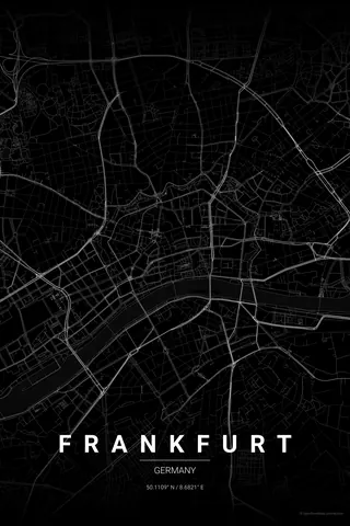
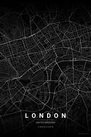
United States · Noir
New York Map Poster · Noir
Every street, park and waterway of New York, drawn from real map data in the Noir palette. Buy the files and print anywhere, or let us print it for you.
- Digital: 4 portrait JPGs (2:3, 3:4, 4:5, ISO) at 300 DPI
- Fits 12×18 in, 30×40 cm, 16×20 in, A4/A3/A2 and more
- Extras ZIP with the 11×14 in version and all ratios in landscape
- Printed sizes A4 to 60×90 cm, €29.90–€65, shipping included
- Map data © OpenStreetMap contributors
About the New York map
Manhattan's grid on your wall
New York's map is the most famous urban grid in the world: Manhattan's numbered streets and avenues, broken only by Broadway's diagonal, the green rectangle of Central Park and the island's sharp edges against the Hudson and the East River.
A map poster of New York captures that instantly recognisable geometry, and the bridges to Brooklyn and Queens give the composition its tension: rigid order on one side, the older, angled streets of Brooklyn on the other.
Noir: black on black. Sophisticated, minimal, very New York.
Centre on Midtown with a 5 km radius to capture Manhattan from the Battery to Harlem, the Brooklyn and Manhattan bridges and a slice of Brooklyn in one poster. Portrait orientation fits the island perfectly.
Read the full New York guideWant it your way?
Change the distance, the colours, the label or the size in the editor and get a custom render of New York.
Customize this design