Estonia · Warm Beige
Tallinn Map Poster · Warm Beige
Every street, park and waterway of Tallinn, drawn from real map data in the Warm Beige palette. Buy the files and print anywhere, or let us print it for you.
- Digital: 4 portrait JPGs (2:3, 3:4, 4:5, ISO) at 300 DPI
- Fits 12×18 in, 30×40 cm, 16×20 in, A4/A3/A2 and more
- Extras ZIP with the 11×14 in version and all ratios in landscape
- Printed sizes A4 to 60×90 cm, €29.90–€65, shipping included
- Map data © OpenStreetMap contributors
About the Tallinn map
a medieval core wired to the Baltic
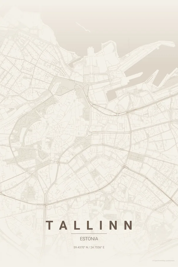
Tallinn's map has a perfect centrepiece: the almost intact ring of the medieval walls, still studded with towers, wrapping the tangled lanes of the Old Town and the separate little hill of Toompea. From that ring the newer streets radiate outwards like spokes, exactly the way a fortified town is supposed to grow.
The top of the frame belongs to the Baltic — the harbour and ferry terminals notch the coastline where boats leave for Helsinki — while the long green rectangle of Kadriorg Park stretches east along the shore. Medieval knot in the middle, sea above, garden to the side: a naturally composed poster.
Warm Beige: limestone warmth, like the walls and towers themselves.
Centre on the Town Hall Square with a 4 km radius: the walled Old Town sits dead centre, the harbour and the Baltic close the top of the frame, and Kadriorg Park slides in along the eastern shore.
Read the full Tallinn guideWant it your way?
Change the distance, the colours, the label or the size in the editor and get a custom render of Tallinn.
Customize this design