Italy · Blueprint
Bologna Map Poster · Blueprint
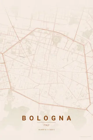
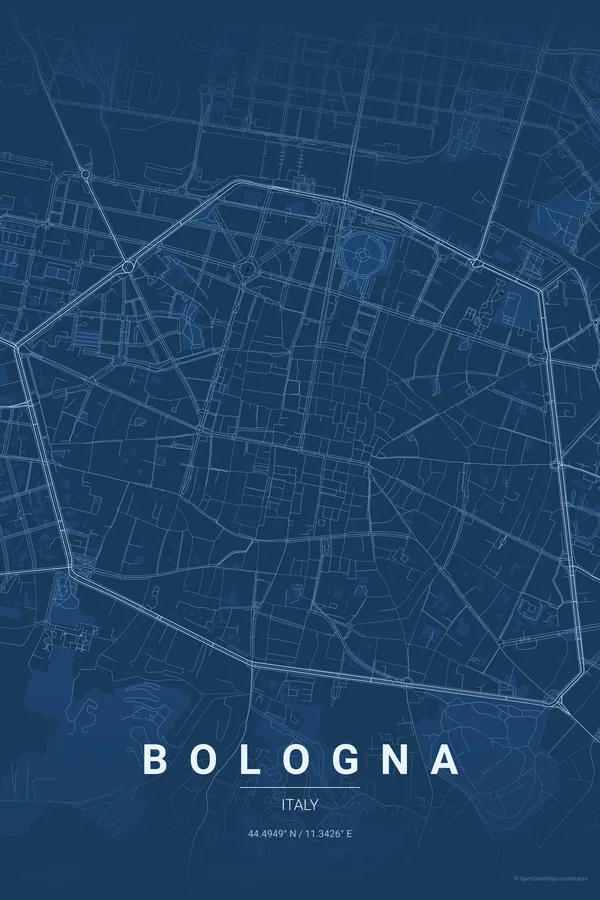
Every street, park and waterway of Bologna, drawn from real map data in the Blueprint palette. Buy the files and print anywhere, or let us print it for you.
- Digital: 4 portrait JPGs (2:3, 3:4, 4:5, ISO) at 300 DPI
- Fits 12×18 in, 30×40 cm, 16×20 in, A4/A3/A2 and more
- Extras ZIP with the 11×14 in version and all ratios in landscape
- Printed sizes A4 to 60×90 cm, €29.90–€65, shipping included
About the Bologna map
a perfect medieval radial, in brick red
Bologna has one of the clearest radial plans in Europe. Streets fan out from Piazza Maggiore and the Two Towers like spokes of a wheel, and the viali, the ring boulevards built over the medieval walls, close the circle so neatly that the old city sits on the map like a seal pressed into wax.
Inside the ring the texture is dense and continuous, forty kilometres of porticoes stitched into narrow blocks; outside it, the via Emilia enters from the northwest and leaves to the southeast, the same Roman road it has been for two thousand years, while the first Apennine foothills rise just south of the frame.
Centre on Piazza Maggiore with a 4 km radius so the full ring of the viali floats in the middle of the frame, with the radial streets and the via Emilia clearly readable around it.
Read the full Bologna guideWant it your way?
Change the distance, the colours, the label or the size in the editor and get a custom render of Bologna.
Customize this design