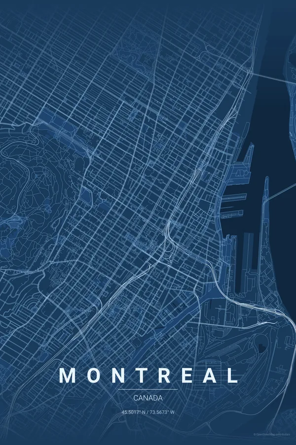
Canada · Blueprint
Montreal Map Poster · Blueprint
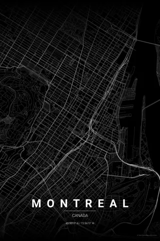
Every street, park and waterway of Montreal, drawn from real map data in the Blueprint palette. Buy the files and print anywhere, or let us print it for you.
- Digital: 4 portrait JPGs (2:3, 3:4, 4:5, ISO) at 300 DPI
- Fits 12×18 in, 30×40 cm, 16×20 in, A4/A3/A2 and more
- Extras ZIP with the 11×14 in version and all ratios in landscape
- Printed sizes A4 to 60×90 cm, €29.90–€65, shipping included
About the Montreal map
an island city with a mountain at its heart
Montreal is an island in the St. Lawrence, and its map shows it: the river wraps the frame while the green mass of Mount Royal — the mountain that named the city — sits right beside downtown, forcing the street grid to bend respectfully around it.
That grid is its own pleasure: long boulevards like Saint-Laurent and Sherbrooke running parallel to the river, the tight rowhouse blocks of the Plateau, the old stone streets of Vieux-Montréal by the port, and the Jacques Cartier Bridge reaching across to Île Sainte-Hélène and its parklands.
Blueprint: crisp and technical, a nod to the Expo 67 spirit and the underground city.
Centre on Place Ville Marie with a 5 km radius: Mount Royal, the Plateau, Vieux-Montréal, the port and both bridges to Île Sainte-Hélène fall neatly into one frame, with the St. Lawrence closing the composition.
Read the full Montreal guideWant it your way?
Change the distance, the colours, the label or the size in the editor and get a custom render of Montreal.
Customize this design