Poland · Blueprint
Warsaw Map Poster · Blueprint
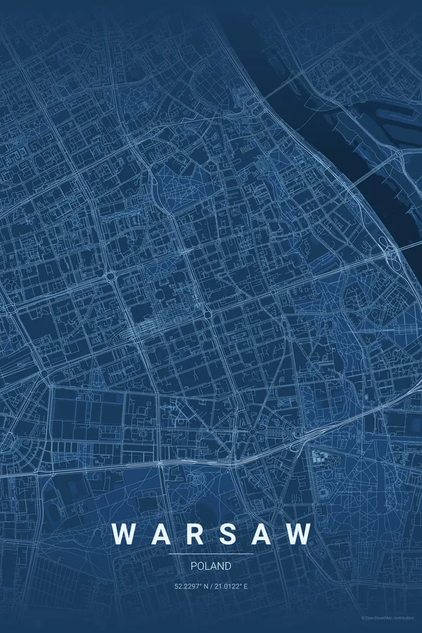
Every street, park and waterway of Warsaw, drawn from real map data in the Blueprint palette. Buy the files and print anywhere, or let us print it for you.
- Digital: 4 portrait JPGs (2:3, 3:4, 4:5, ISO) at 300 DPI
- Fits 12×18 in, 30×40 cm, 16×20 in, A4/A3/A2 and more
- Extras ZIP with the 11×14 in version and all ratios in landscape
- Printed sizes A4 to 60×90 cm, €29.90–€65, shipping included
About the Warsaw map
a phoenix city on the Vistula
Warsaw's map tells a story of rebirth: the meticulously rebuilt Old Town by the river, the socialist-era axes radiating from the Palace of Culture, and the modern towers of Wola filling in the western skyline — three eras of city in one frame.
The Vistula runs wide and wild through the middle, largely unbanked on the Praga side, giving the poster a broad natural stroke that few European capitals can match.
Blueprint: a nod to the plans that rebuilt the city from rubble.
Centre on the Palace of Culture with a 6 km radius: the Old Town, Łazienki Park and both banks of the Vistula share the frame. The wild eastern bank gives the composition breathing room.
Read the full Warsaw guideWant it your way?
Change the distance, the colours, the label or the size in the editor and get a custom render of Warsaw.
Customize this design