France · Blueprint
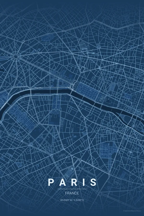
Paris Map Poster · Blueprint
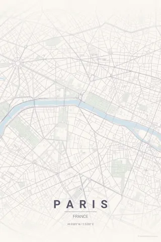
Every street, park and waterway of Paris, drawn from real map data in the Blueprint palette. Buy the files and print anywhere, or let us print it for you.
- Digital: 4 portrait JPGs (2:3, 3:4, 4:5, ISO) at 300 DPI
- Fits 12×18 in, 30×40 cm, 16×20 in, A4/A3/A2 and more
- Extras ZIP with the 11×14 in version and all ratios in landscape
- Printed sizes A4 to 60×90 cm, €29.90–€65, shipping included
- Map data © OpenStreetMap contributors
About the Paris map
the City of Light, mapped
Paris is defined by the Seine. The river curves through the city and creates a natural focal point that makes any Paris map poster immediately recognisable, with the Île de la Cité sitting right at the centre of the frame.
Add the boulevards radiating from the Arc de Triomphe, the Tuileries and the Champ de Mars, the organic lanes of Montmartre and the Marais, and the Périphérique drawing the city's famous oval outline: Paris was made for map art.
Centre on Notre-Dame with a 5 km radius and the whole city inside the Périphérique fits the frame, Seine in the middle, Bois de Boulogne and Vincennes on the edges. For a Montmartre-only poster go down to 2 km.
Read the full Paris guideWant it your way?
Change the distance, the colours, the label or the size in the editor and get a custom render of Paris.
Customize this design